Albania - a journey through a country on its way to Europe
Albania - a journey through a country on its way to Europe
With the end of the communist dictatorship in June 1991, Albania, which had been isolated until then, embarked on a long journey back into the European community of nations.
In the first decade, the transformation process threatened to fail due to ongoing economic crises, political disputes, rampant corruption and the omnipresent clan economy. It was not until the country was named an EU candidate country in June 2014 that stabilization and a long-term perspective for the country emerged.
We want to visit this country, characterized by fantastic beaches on the Mediterranean and the rugged mountains of the Balkans.
Our trip to Albania begins with a ferry ride from Corfu Town across the Ionian Sea, which is only a few kilometers wide here, to Sarandë. From here, we want to explore the Albanian Rivera and its mountainous hinterland.
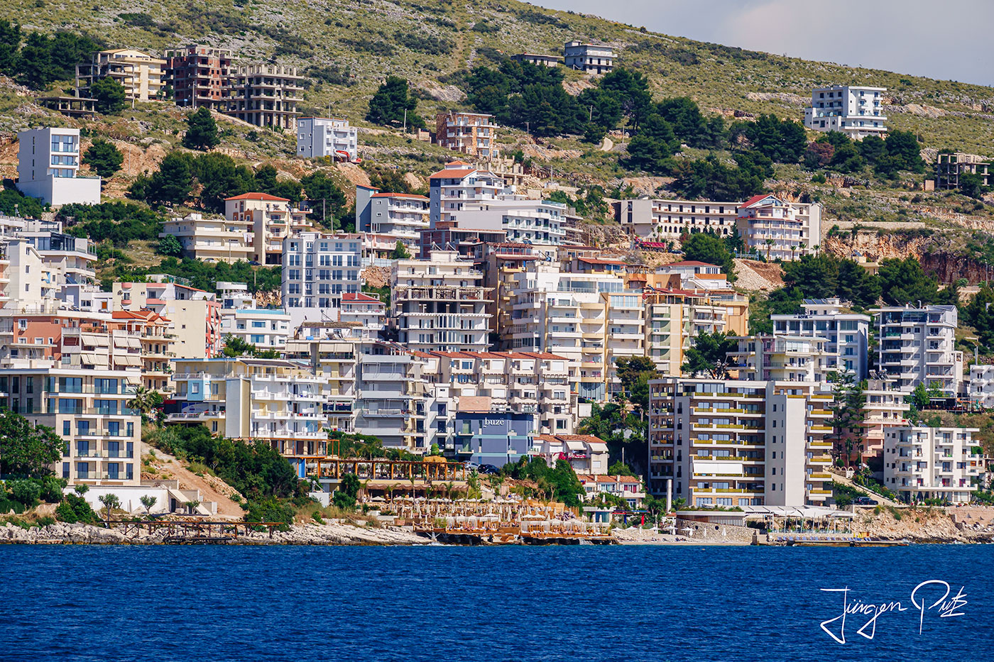
Sarandë lies on a small bay open to the south. In ancient times, the place was called Onchesmos. The remains of an old synagogue from the 5th century can be found in the city center.
In the 6th century, the monastery for the "forty martyrs" was built above the town. The current name of the town, Saranda, comes from the Greek name Hagioi Saranta of this pilgrimage site. Unfortunately, this once magnificent building was destroyed in an air raid during World War II.
After the Second World War, Sarandë was developed into a vacation resort under the dictatorship of Enver Hoxha. Even after the fall of the communist regime tourism the most important source of income for the inhabitants and Sarandë is visited by over 500,000 tourists every year.
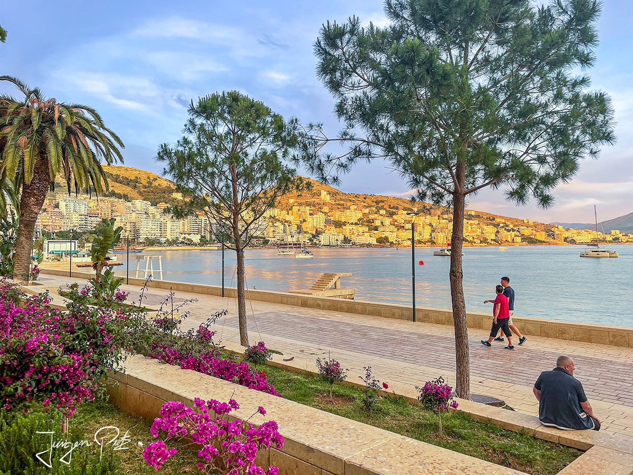
Unfortunately, the associated building boom has meant that little remains of the former small coastal town of Sarandë.
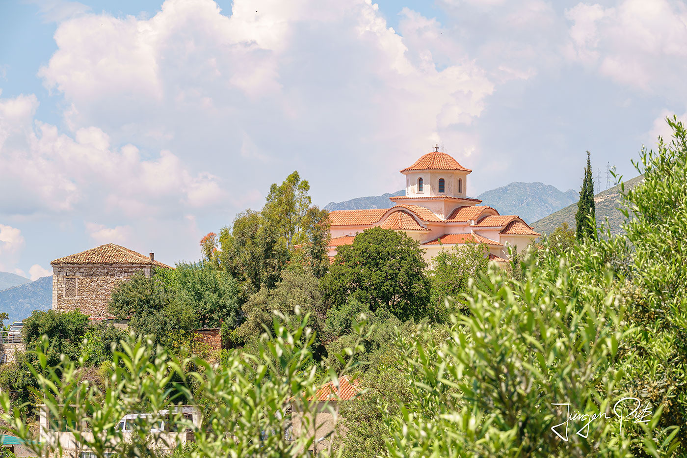
On the first day of our trip, we first drive along the Albanian Riviera about 24 km north to the dreamy coastal town of Lukova. There are two very beautiful sandy beaches here with crystal-clear water. The main beach is called "Cave Beach" (Plazhi i Shpelles), which is very popular during the vacation season. North of Cave Beach there is another beach, which is quieter and has two campsites.
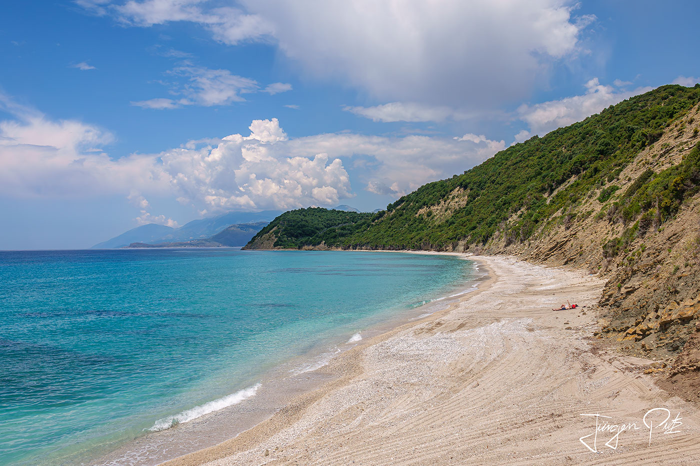
We continue on our route along the coast to the next beach near Porto Palermo. The shimmering green waters of a small bay are perfect for a swim.
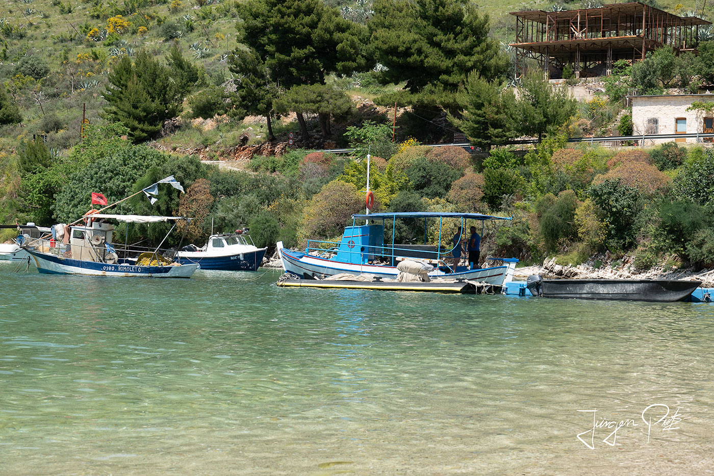
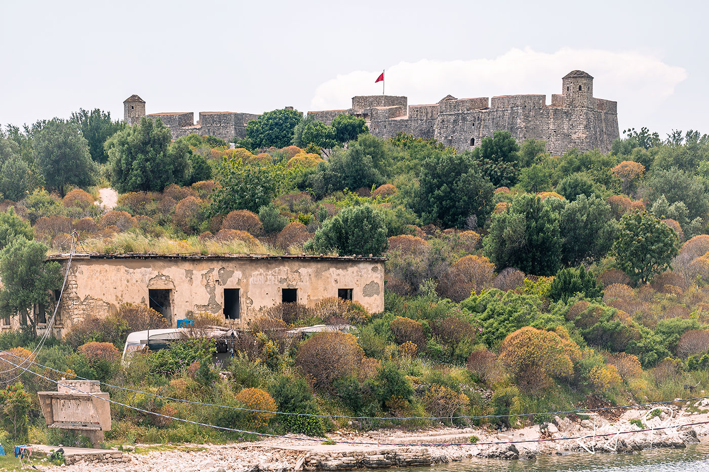
However, the main attraction is certainly the well-preserved fortress located above the bay. It was built at the beginning of the 19th century by Ali Pasha of Tepelena, who then handed it over to the Royal Navy for use in 1803.
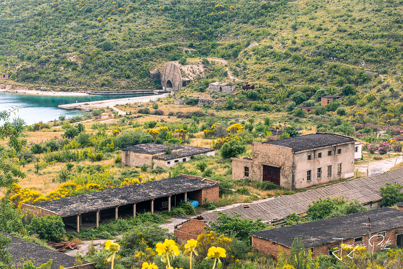
At the northern end of the bay of Porto Palermo is a naval base built in 1969 by the communist government under Enver Hoxha. Today it is not open to the public.
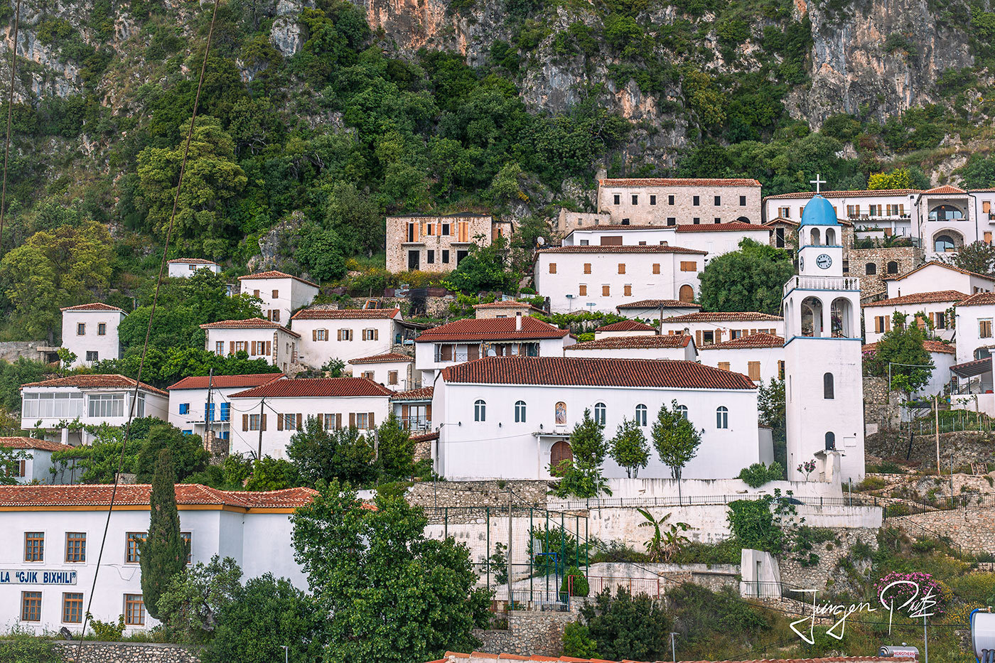
We then continue via Dhërmi to the Llogara Pass.
Dhërmi is a dreamy village located on the sea-facing side of the Ceraunian Mountains. Its often restored and The whitewashed houses and Greek Orthodox churches are reminiscent of nearby Greece.
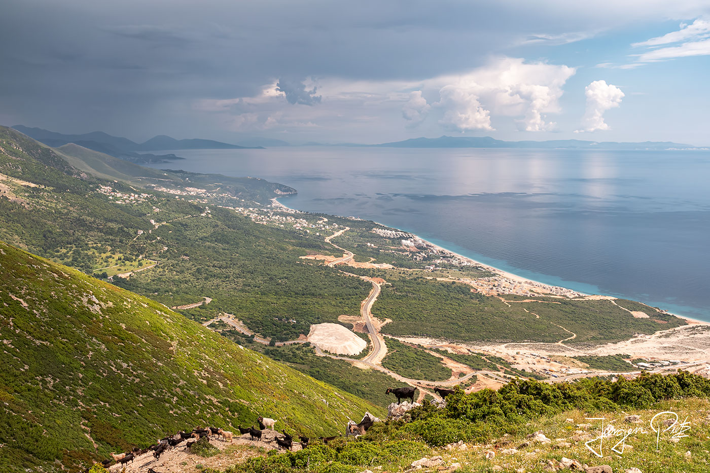
Shortly after Dhërmi, we began our ascent to the Llogara Pass, a 1,027 m high mountain pass in the Ceraunian Mountains, which connects the Dukat Valley in the north with another coastal region, Himara, in the south.
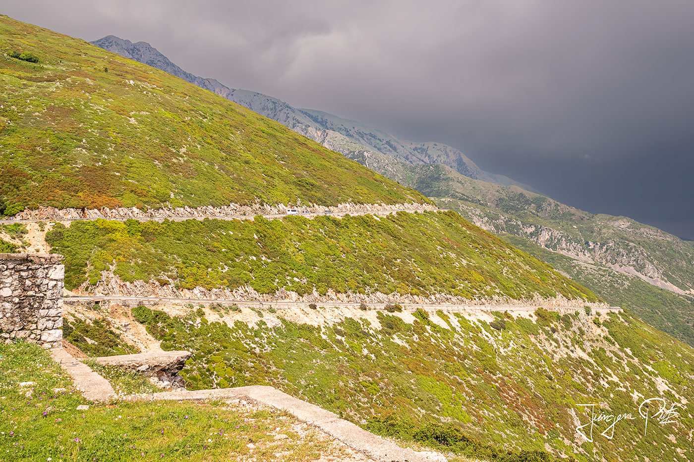
During the pass crossing, the views of the sea were simply spectacular.
The next day, we take a day trip by boat to the Karaburun-Sazan Marine National Park. This park covers a 1.9 km long marine area along the coasts of the Karaburun peninsula and the island of Sazan near the bay of Vlorë. The northern parts of the national park belong to the Adriatic Sea, the southern parts to the Ionian Sea - at Cape Kepi Gjuhëzës on Karaburun, the westernmost point of the Albanian mainland, the Strait of Otranto separating the two seas ends.
Our first stop is the island of Sazan.
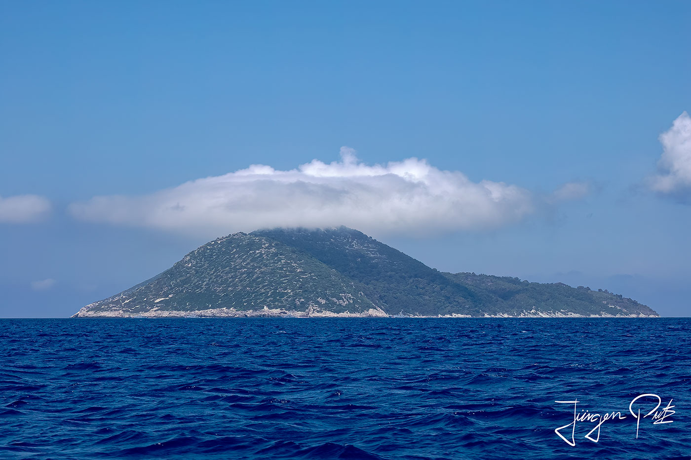
This island was initially an Italian naval base from 1914 to 1947, when it was taken over by the communist government of Albania. Until 1960, this naval base was used by both Soviet and Albanian naval units, after which it was used exclusively by the Albanian navy.
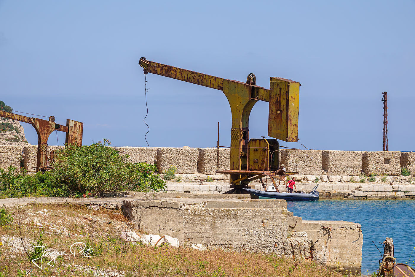
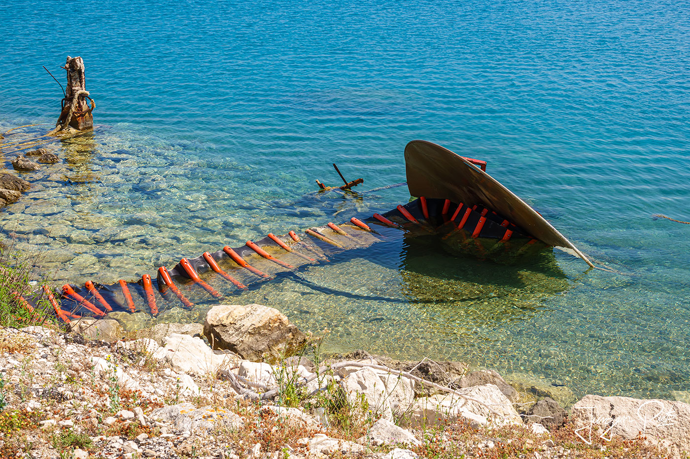
Since 2015, the now uninhabited island has been open to the public and you can visit the old facilities of the base and the now abandoned settlement of the families of the soldiers who were once stationed here.
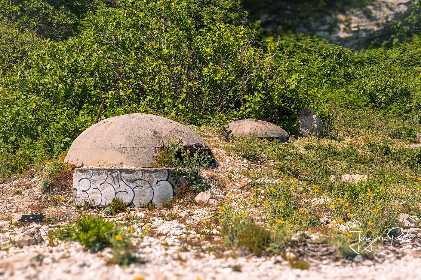
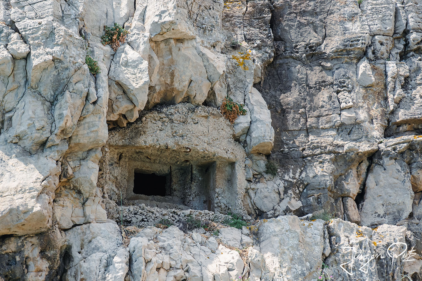
Even today, countless bunkers and tunnels carved into the rocks on the island are reminders of the island's military past.
After this visit, we travel by boat along the Karaburun peninsula, which is almost completely surrounded by the Adriatic Sea to the north and the Ionian Sea to the south. The uninhabited peninsula is very remote, undeveloped and untouched. You can only be reached by sea or on foot, as the only road leads through the Orikum naval base and is closed to public traffic.
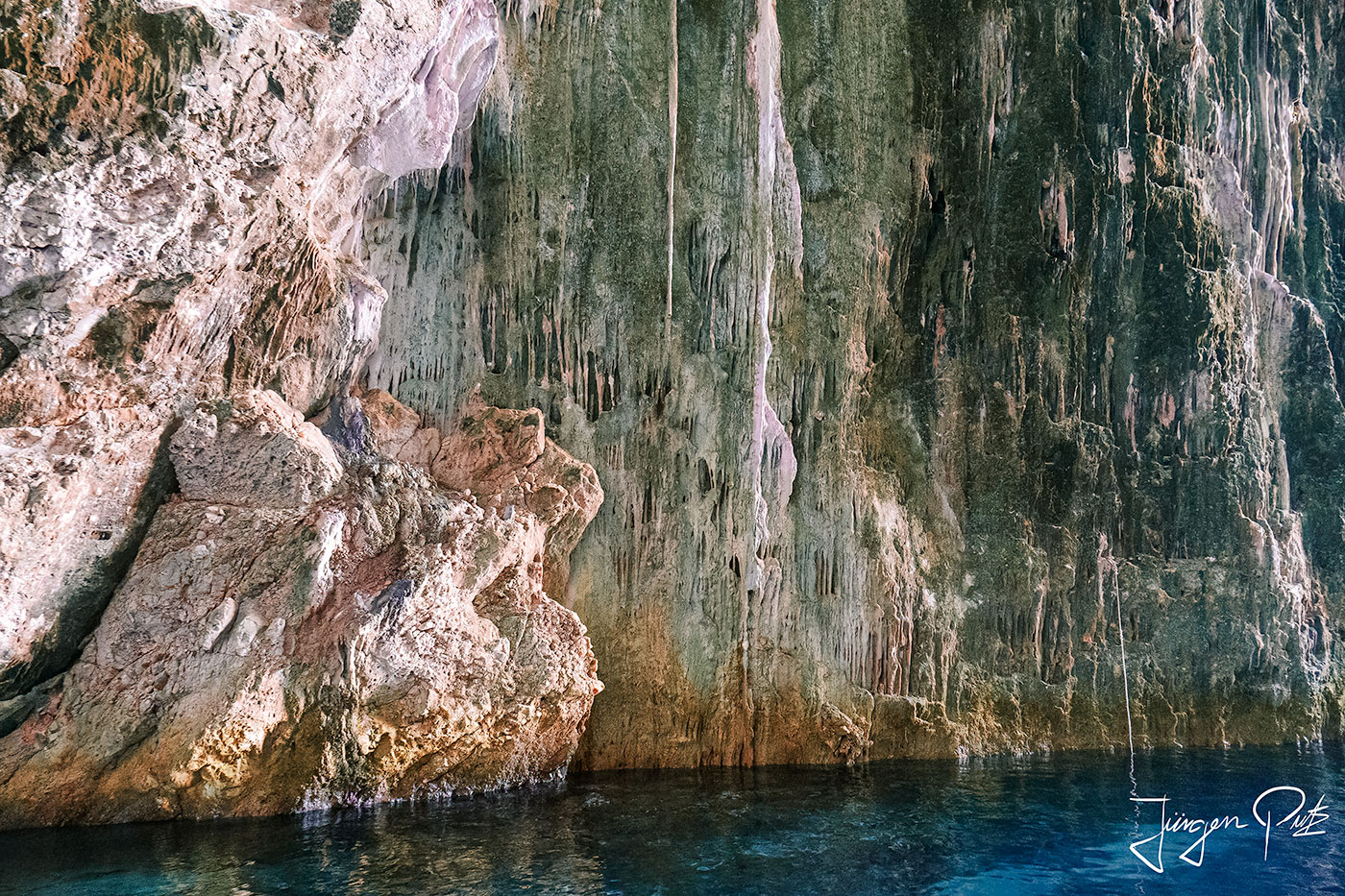
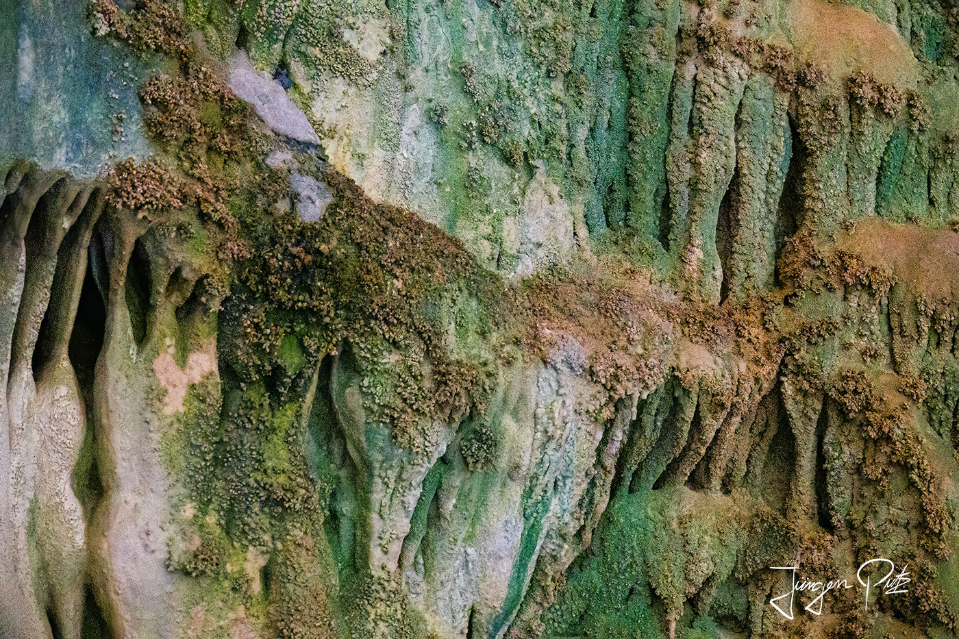
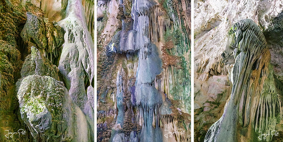
First we visit the impressive cave of Haxhi Ali (Shpella e Haxhi Aliut). The cave has a length of 30m, a width of 10-12 m (33-39 ft) and a height of 18m. It served as a hiding place for the pirate Haxhi Aliu.
To round off our short visit to this natural paradise, we drive to one of the beautiful beaches on this peninsula. There is a small taverna here and we can swim and snorkel in the turquoise sea.
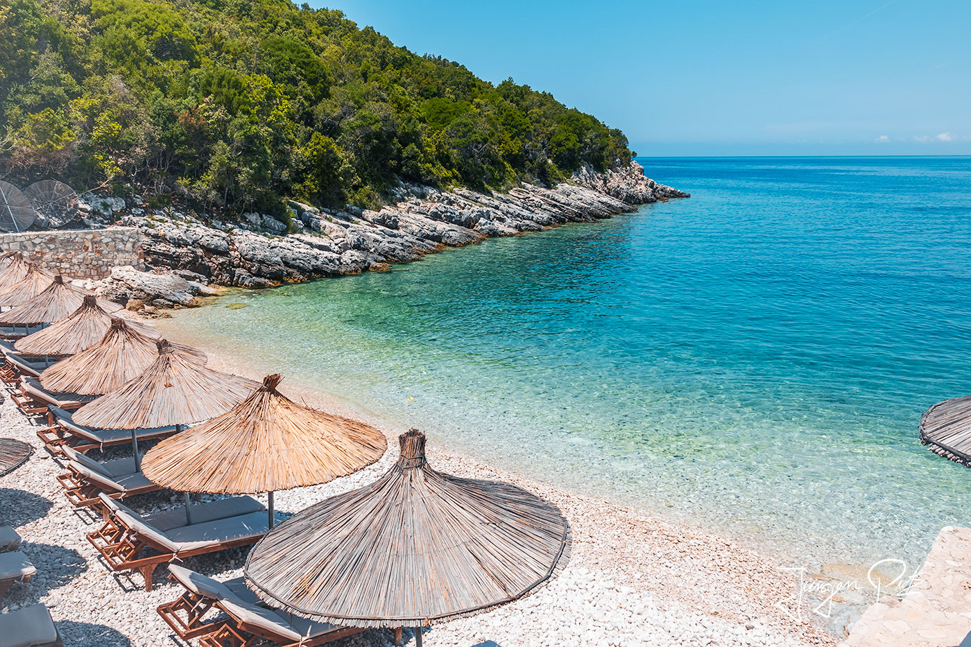
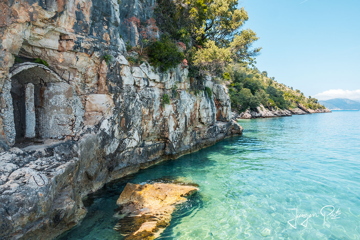
From breathtaking deserted beaches to colorful caves and abandoned bunkers from the communist era - the Karaburun peninsula is a reflection of the Albanian Rivera.
On our return, we then drive along the wide bay to Vlorë in the north. Thanks to its strategic location at the entrance to the Adriatic, the bay of Vlorë, which forms a natural harbor, has always been a coveted trading center for many peoples.
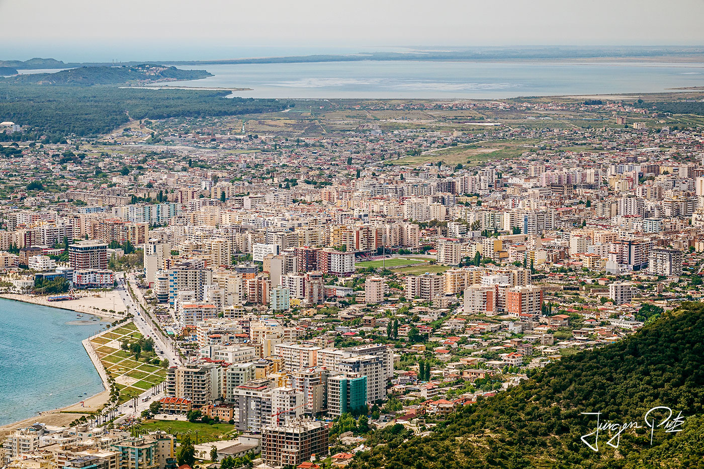
Roman historians from the 2nd century AD mention a trading center here with the name Aulon. In the 5th century. The city became a bishop's see in the 13th century and was heavily fortified by the Roman Emperor Justinian.
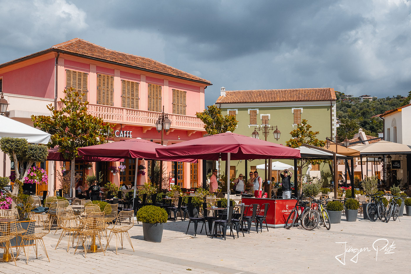
On November 28, 1912, Ismail Oemali proclaimed Albanian independence in Vlorë; although Italy occupied Vlorë once again during the First and Second World Wars, the city was then finally part of communist Albania. Today, Vlorë is the political and cultural center of southern Albania with over 100,000 inhabitants.
The following day, we first drive to the ruins of Oricum, located at the southern end of the bay of Vlorë.
According to legend, Oricum was founded by the Euboeans on their return from Troy after they were stranded here by strong winds away from their original destination. Oricum was built on a 20 meter high hill, situated on a narrow spit of land between the sea and the lagoon. Thanks to its exceptional location on the Adriatic coast, close to Korkyra (Corfu) and just a stone's throw from Otranto (Italy), the city became one of the most important cities in Epirus.
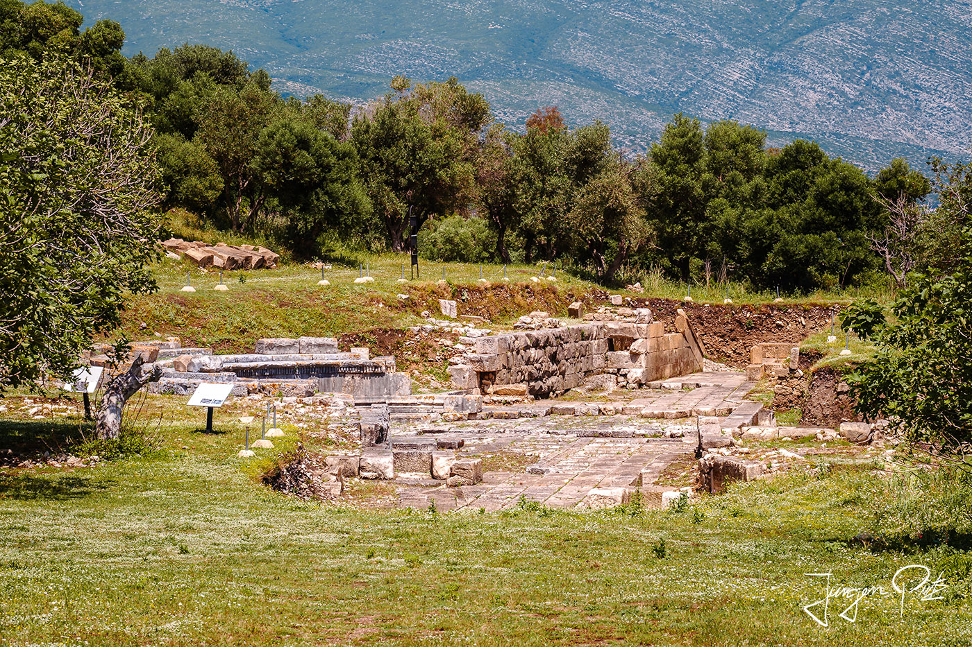
Orikum was an important port in Rome's conflicts, first with the Illyrians and later with the Macedonians, whose king Philip V conquered the city in 214 BC during the first Roman-Macedonian war.
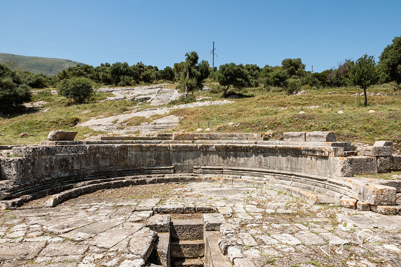
Later, Oricum was one of the sites of the civil war between Julius Caesar, who occupied the city in 48 BC, and Pompey, who besieged and recaptured it after Caesar's departure for Dyrrhachium.
After visiting the ruins, we drove on to nearby Tragjas in the mountains.
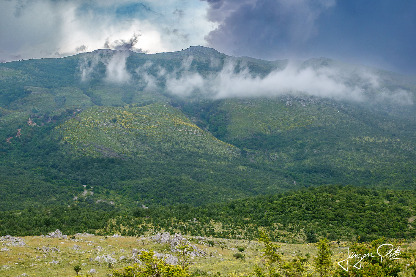
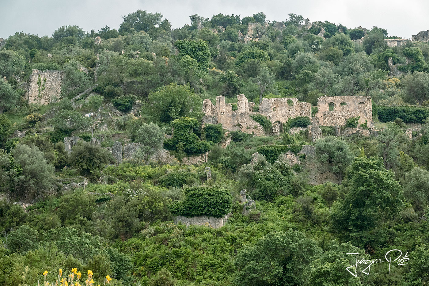
The old village of Tragjas has been inhabited since ancient times. It gained tragic fame during the Second World War, when during the Battle of Gjorm In January 1943, Albanian resistance units defeated and repelled the troops of the Kingdom of Italy. Dn August 1943, Italian troops and in August 1944 the German Luftwaffe bombed the old Tragjas, leaving it in ruins.
From Tragjas, we left the Albanian Riviera and headed east into the mountainous landscape of the interior to spend the night in the village of Memaliaj on the way to Perret and Gjirokaster. Memaliaj was founded in 1947 as a home for the workers of the nearby coal mines and was built in a bend of the Vjosa River.
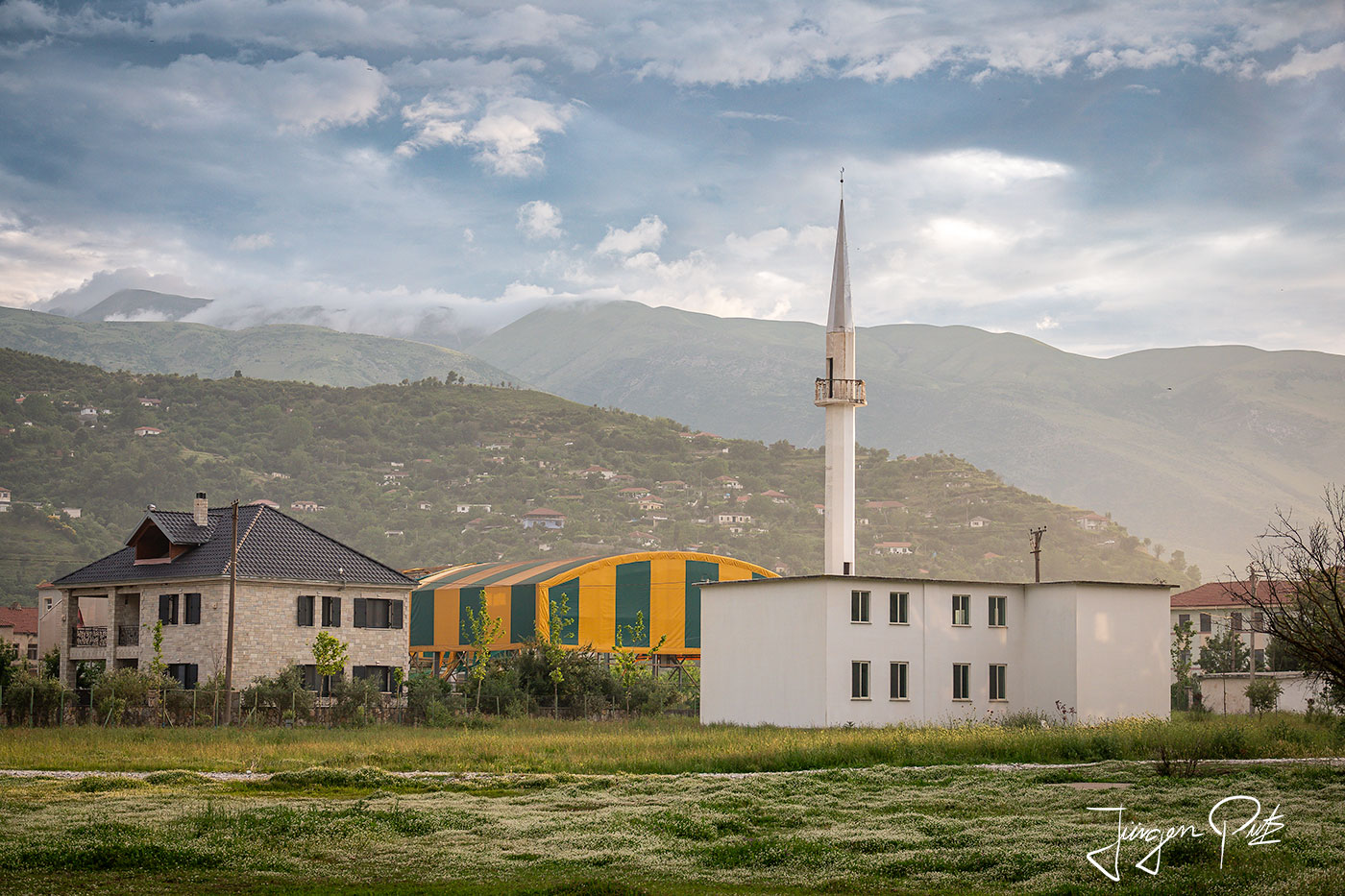
After the closure of the mines, many inhabitants emigrated and the town became impoverished. In recent years, however, more and more tourists have been coming to the area in search of the charming landscape and rural surroundings. As a result, you can now also find one or two restored buildings in the village center.
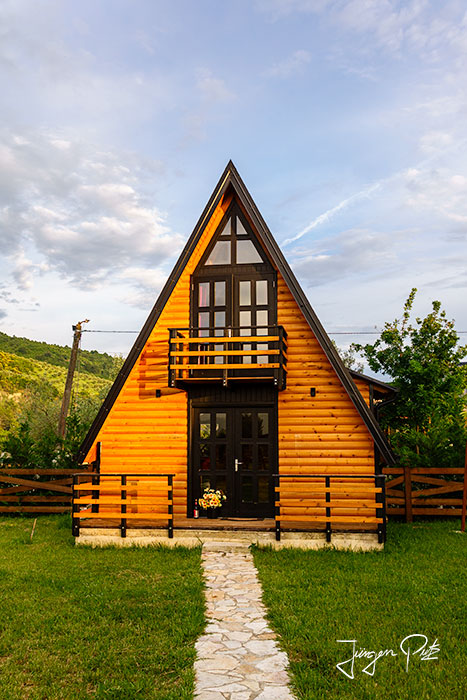
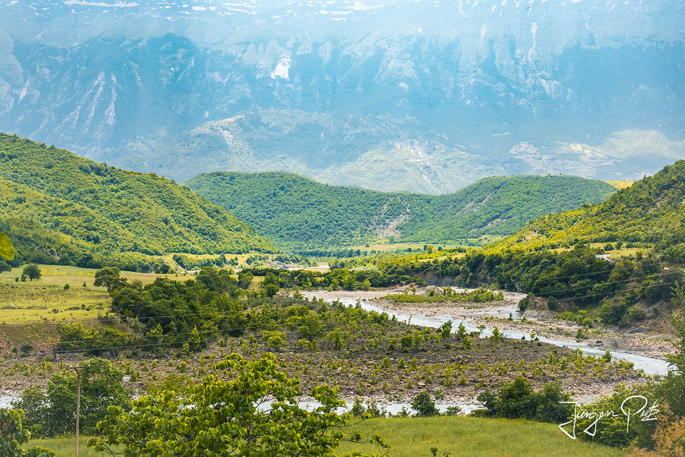
The next morning we drive further south-east about 50 km to Përmet to visit the Katiu Bridge. and visit the thermal baths of Bënjë. Shortly after reaching the small town of Përmet, we turn left and drive along the Langarica gorge until we arrive at a parking lot near the thermal springs of Bënjë.
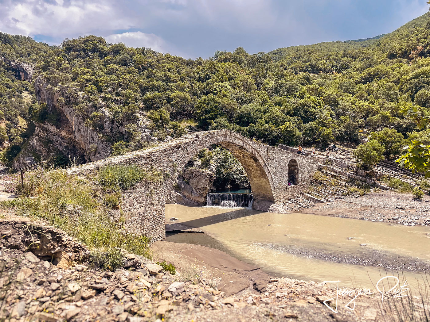
To get to the thermal baths, we first have to cross the Katiu Bridge. This picturesque Ottoman bridge of Benja, surrounded by the natural thermal springs, was built in the 18th century. It is 7 m high and 30 m long and was built entirely of stone.
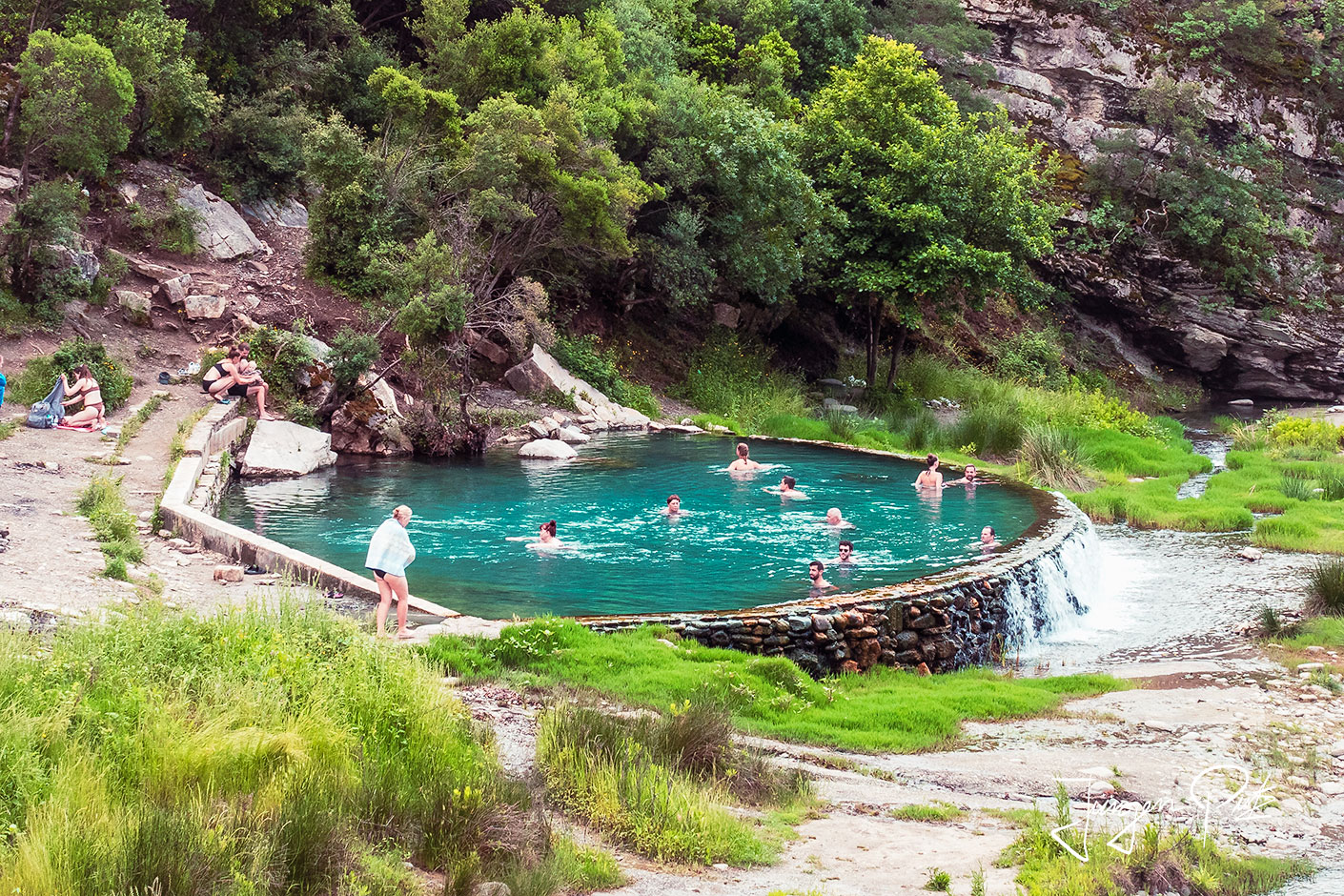
The thermal baths of Bënjë, which have been used since ancient times, are also located here. These sulphur springs emerge from deep tectonic faults on both sides of the Langarica Gorge.
There are six relaxing natural thermal baths, and each spring has different therapeutic properties for the treatment of skin diseases, stomach complaints, kidney problems and rheumatism. The water of the springs - of the chlorine-sodium-calcium type - has a temperature of 22-28˚ Celsius. They invite us to relax and linger.
After lunch, we drove on to Gjirokaster. Gjirokastër is located in the south of Albania in the Drino river valley, which widens out into the Dropull plain.
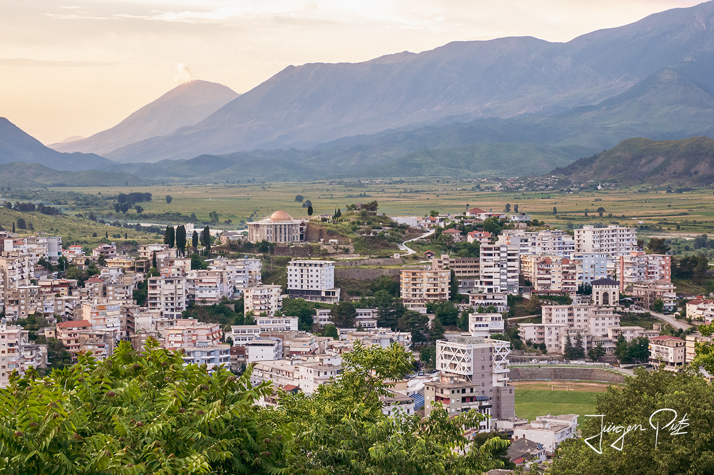
The city has been a UNESCO World Heritage Site since 2005 because it is a rare example of a well-preserved city from the Ottoman period and is an exceptional testimony to the society of this era, which was shaped by Islamic culture.
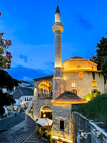
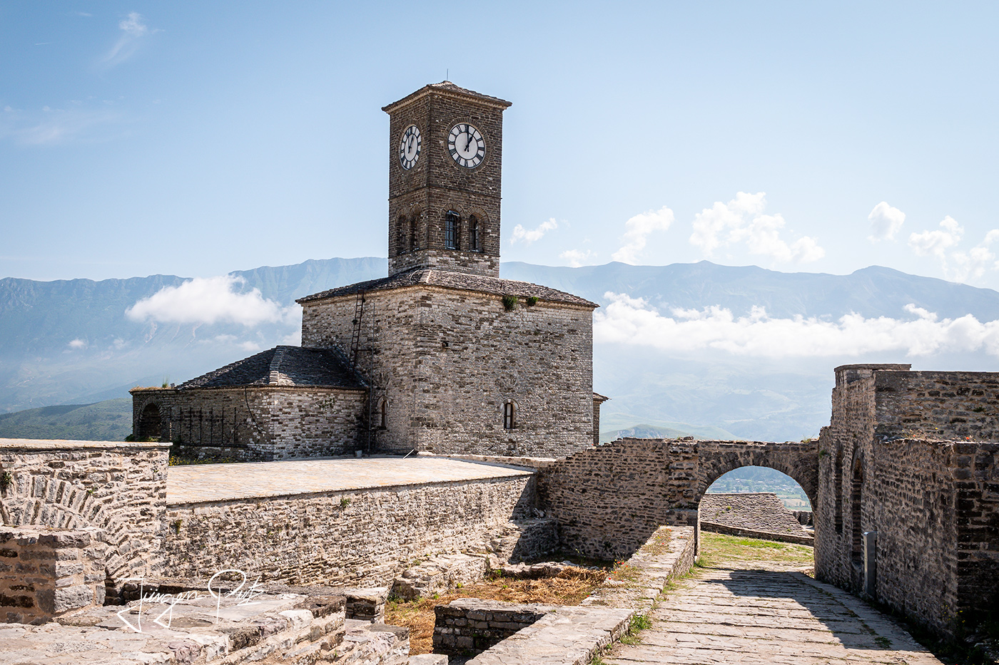
Gjirokastër is one of the oldest cities in the country and an important cultural center of southern Albania. It is the birthplace of the former dictator Enver Hoxha and the most famous Albanian writer Ismail Kadare. The castle complex of Gjirokastër, whose first complexes were built on a prominent rock massif as early as the 6th century B.C., dominated the entire valley in the late Middle Ages under the rule of the Zenebish, an Albanian noble family.
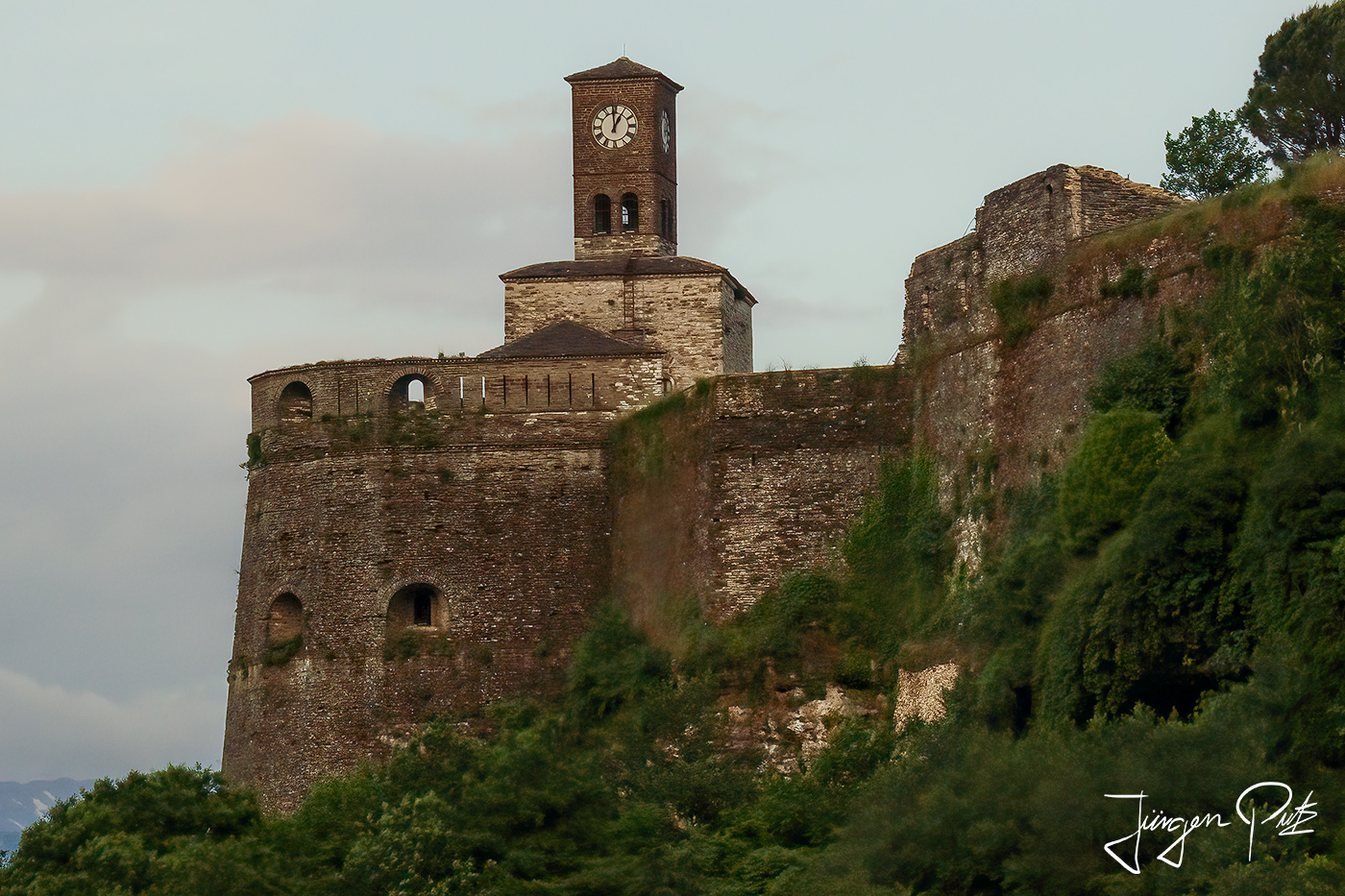
In 1417, Gjirokastër was conquered by the army of the Ottoman Empire. However, the ruling family remained the Zenebishi, who had converted to Islam soon after the Turkish conquest. For a short time, Tepelenli Ali Pasha was able to incorporate the city into his territory in 1811, until Sultan Mahmud II recaptured Gjirokastër for the Ottomans in 1822 after Ali Pasha fell victim to an assassination attempt. During the Pasha's reign, the castle was greatly expanded and a ten-kilometre-long aqueduct was built to supply water.
After the collapse of the Ottoman Empire, the city was disputed between Albania and Greece, but belonged to Albania. During the Second World War, Gjirokastër was occupied by Italian troops, then briefly fell into the hands of the Greek army until the German Wehrmacht conquered the city.
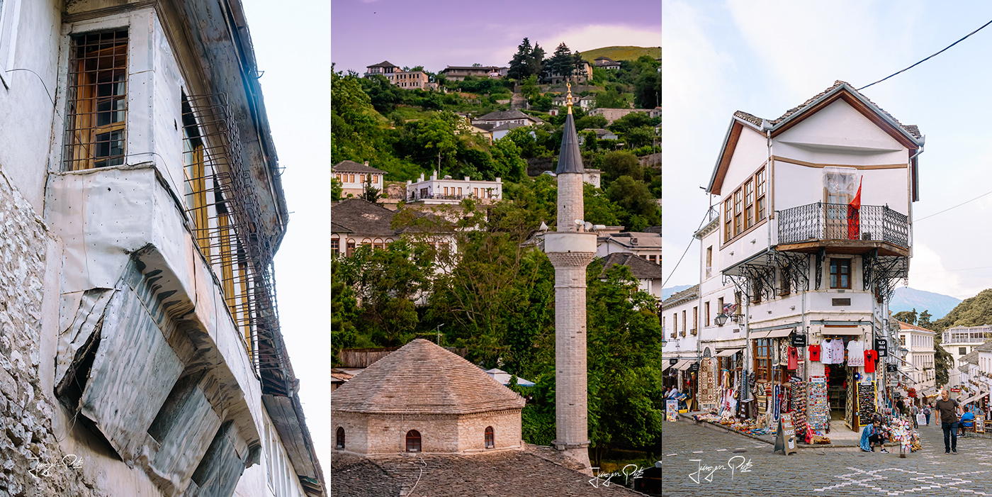
After the end of the Second World War and the seizure of power by the communists, the Gjirokastër-born leader Enver Hoxha (1908-1985) proclaimed the People's Republic of Albania, to which his home town also belonged. The communist government then declared Gjirokastër a "museum city" in 1961. As a result, the cityscape escaped radical change. Today, tourism is an important source of income for the city.
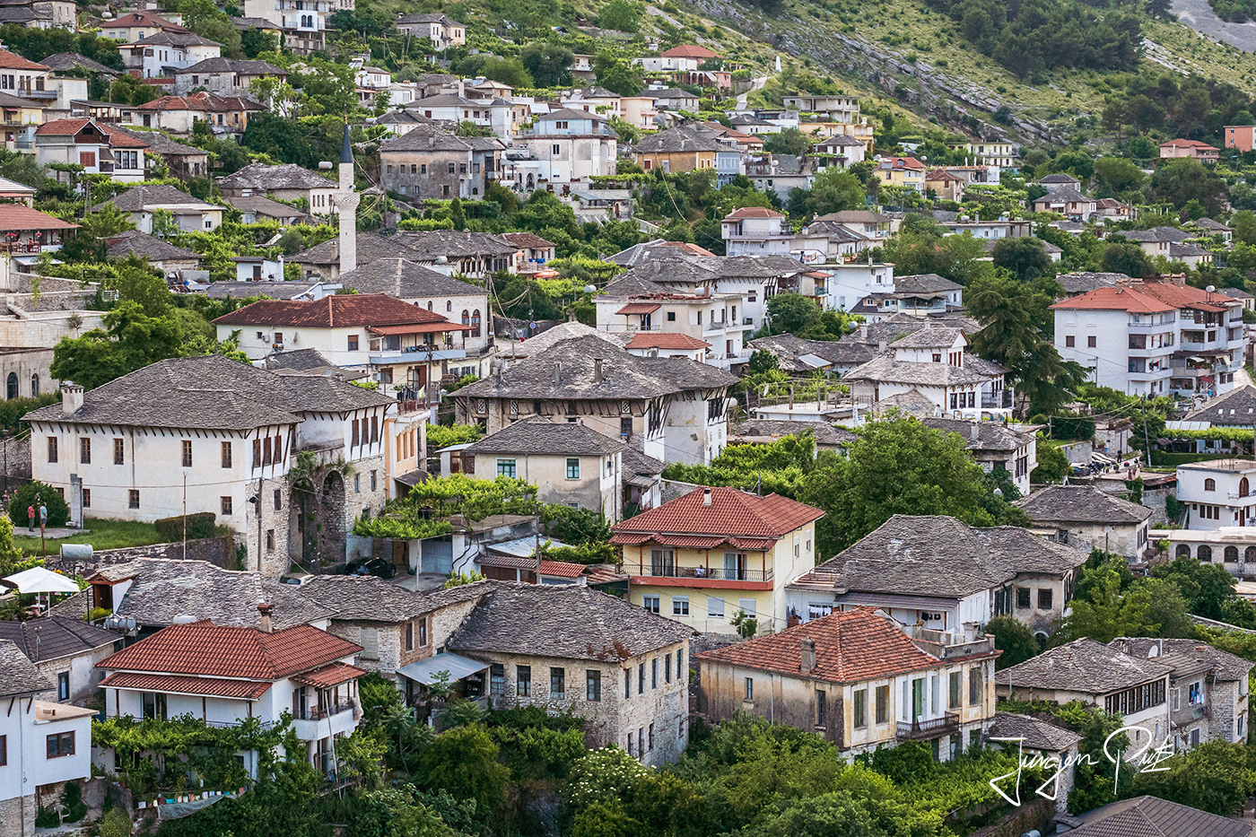
Gjirokastër is also known as the "city of stones". The city owes this name to its unique townscape. Striking houses resembling small fortresses have characterized the quarters around the castle, today's old town, for centuries. The roofs of these buildings, covered with stone slabs from the nearby mountains, regulate the internal temperature of the houses in this climatically continental landscape. This keeps them quite cool in summer, while insulating them against the sometimes icy cold in winter.
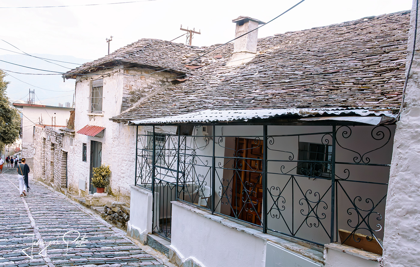
White exterior facades, high wooden windows and many small courtyards with huge wooden gates are characteristic of the buildings in the old town. Along the steep slopes of the up to 480 m high Mali i Gjerë, narrow, artfully paved alleyways from the 18th century connect the various districts of the town.
The next day, we drove to various excursion destinations in the Dropull plain. First we visited the village of Libohovë.
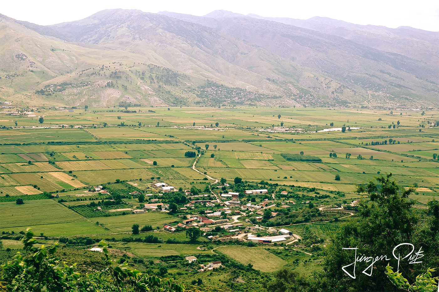
In the 19th century, Libohovë was an important town with more than 15,000 inhabitants, which was under the protection of Ali Pasha.
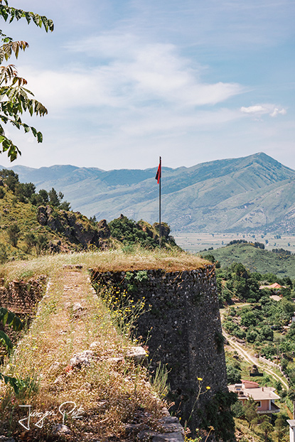
The town's landmark is a fortress that Ali Pasha of Ioannina had built between 1741 and 1822. The castle was built for his sister Shanish as a wedding present.
She lived here until her death. Her grave is located near the town of Libohovë and today the interior of the castle stands empty, only the walls are still standing.
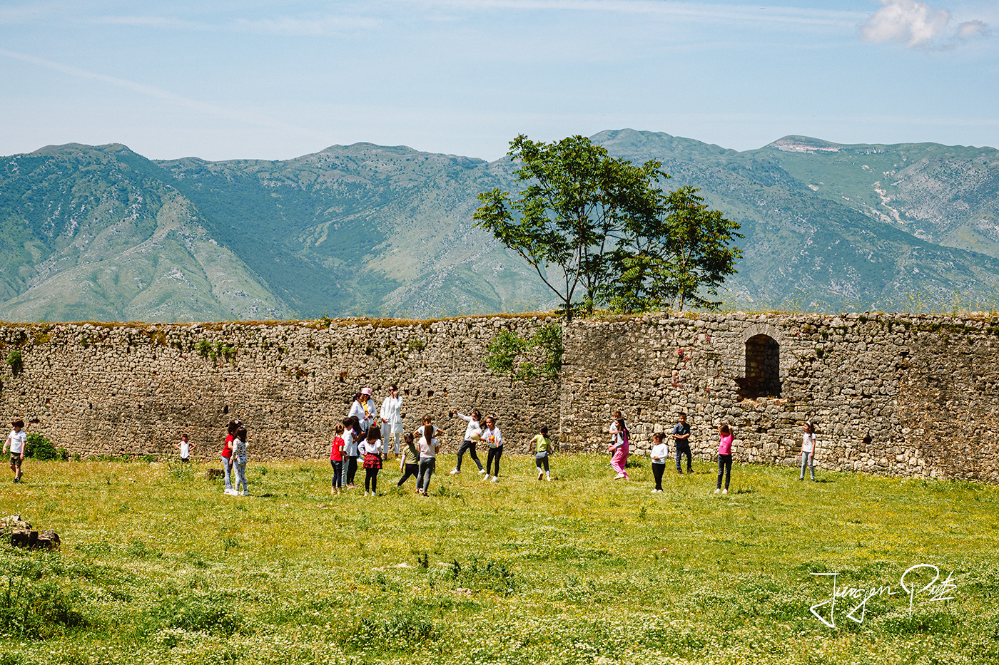
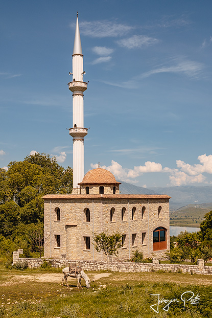
There is also a beautiful view from the village mosque.
On the short way to our next destination, the village of Labove e Kryqit, we pass a beautifully situated small lake called Liqeni i Doftisë.

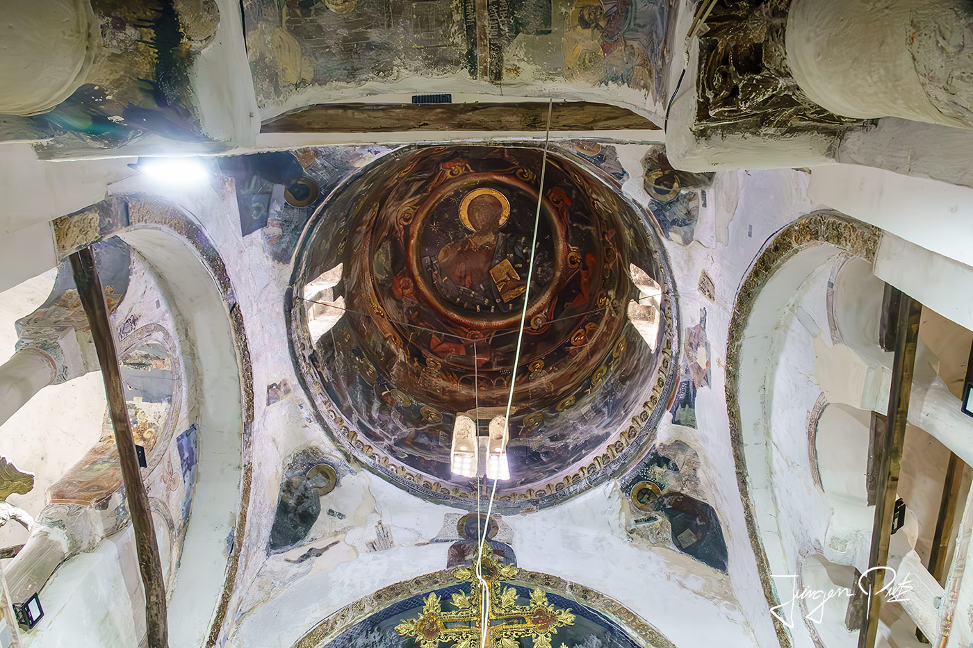
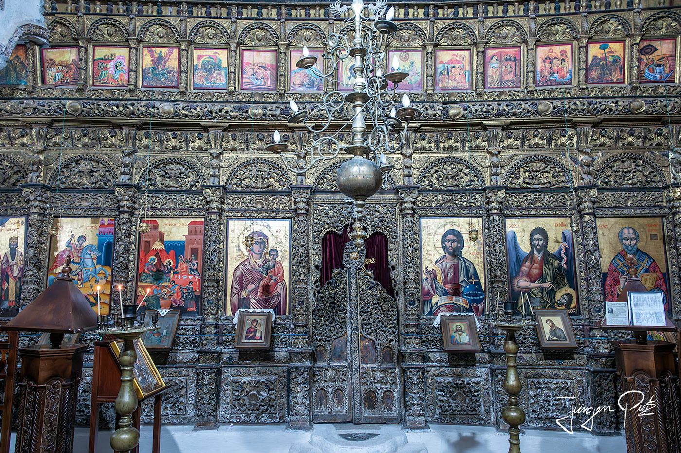
The village of Labovë e Kryqit, just a few kilometers from Libohovë, is home to one of the oldest and most beautiful Byzantine churches in Albania, dedicated to Saint Mary.
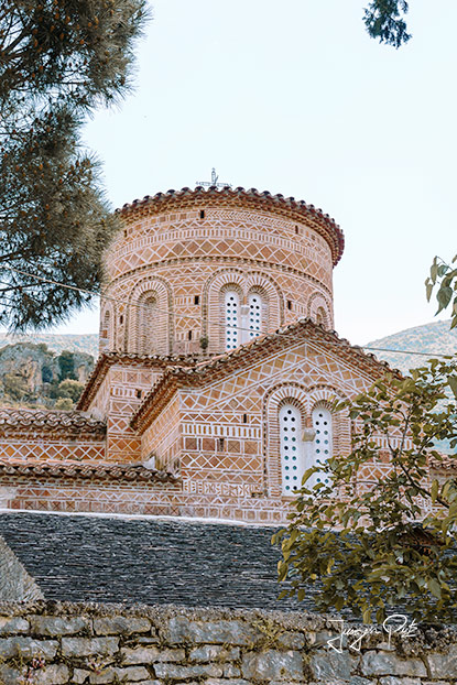
This church was built in 554 during the reign of Emperor Justinian. The building is a typical Byzantine structure with a high central dome, a nave and side aisles arranged in a cross shape.
According to legend, a man from Labovë, Konstandin Laboviti, was a high commander in Justinian's army. He was so brave and courageous that one day Justinian offered to reward him with anything he wanted. He replied: 'I want you to build a church in my birthplace, the village of Labovë.
Justinian agreed and sent the best craftsmen to build the church. Four years later, Justinian ordered that a golden cross made from pieces of wood from the cross of Jesus should be placed in the church. The cross was covered with 600 grams of gold. It remained part of the church for centuries, but was stolen in 1989 during the unrest in Albania. Given the significance of the cross, the village was given the name "Labovë e Kryqit".
The interior is decorated with frescoes, which can be seen on the interior walls on nine different levels.
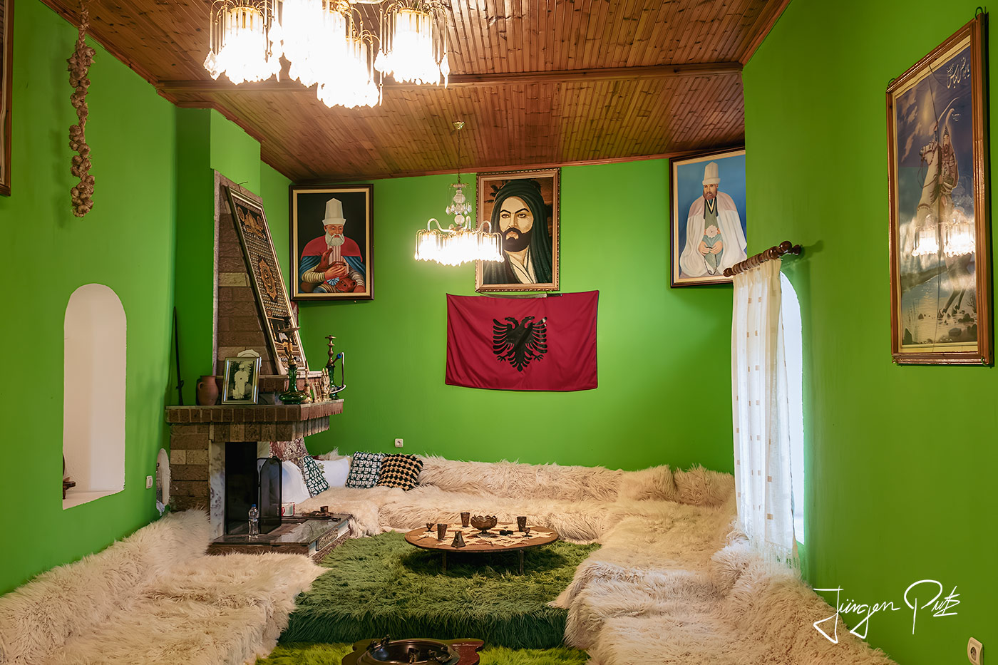
Our next destination was the Melan Tekke, a dervish monastery. The tekke was not easy to find. It is located above the Dropull plain south of the town of Gjirokastër on a hill on the eastern side of the valley near the small village of Vllaho-Goranxia.
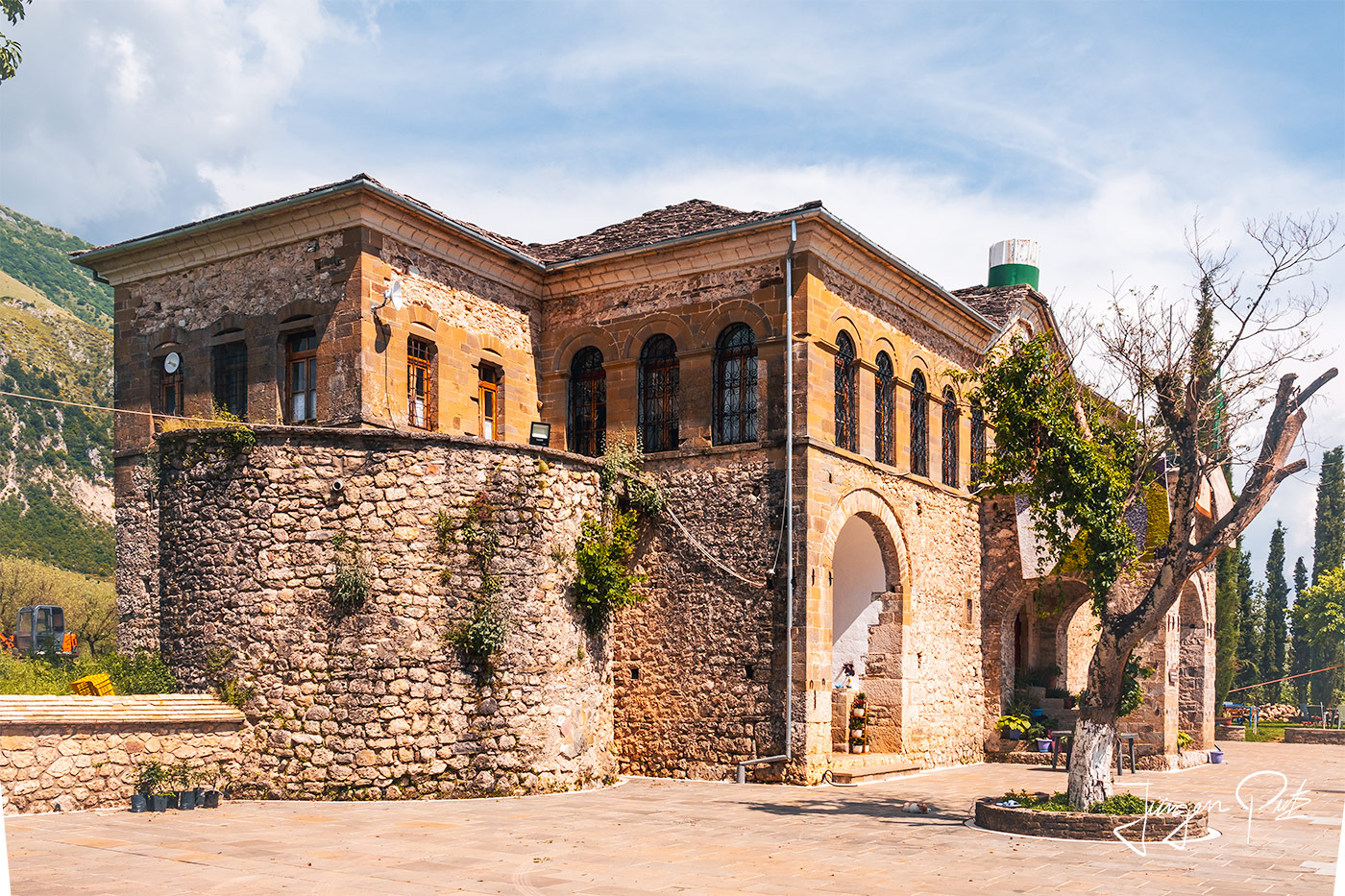
The Melan-Tekke is a famous pilgrimage site and was built around the year 1800 under Baba Aliu built by the Tekke of Zall. Under the dictator Enver Hoxha, it was closed and partially destroyed at the end of the 1960s and only reopened in 1994. Today it is permanently inhabited by a dervish.
In the early evening, we visited the Roman ruins of Hadrianopolis. This can be found from the main road E 53 in a southerly direction via a short dirt track. The ruins are not fenced in and there is no entrance fee. And we were all alone here.
At the time of Emperor Hadrian (117-138 AD), the small settlement on the road connecting Apollonia and Nicopolis was given the status of a city with the name Hadrianopolis and became the capital and administrative reference point of the Roman community in the valley of the river Drin.
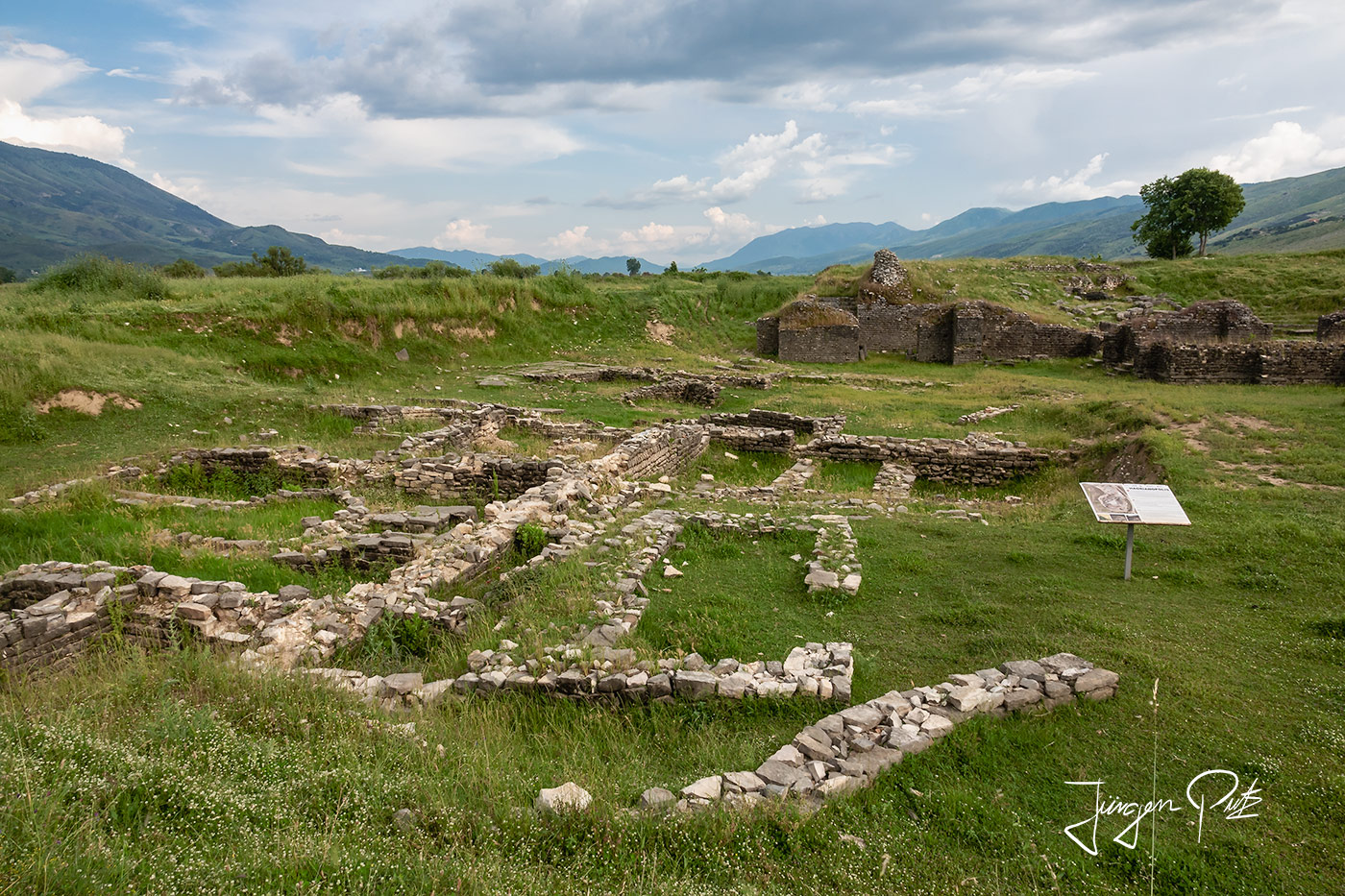
The most important public buildings, including the theater and the thermal baths, were constructed in Hadrianopolis during this period.
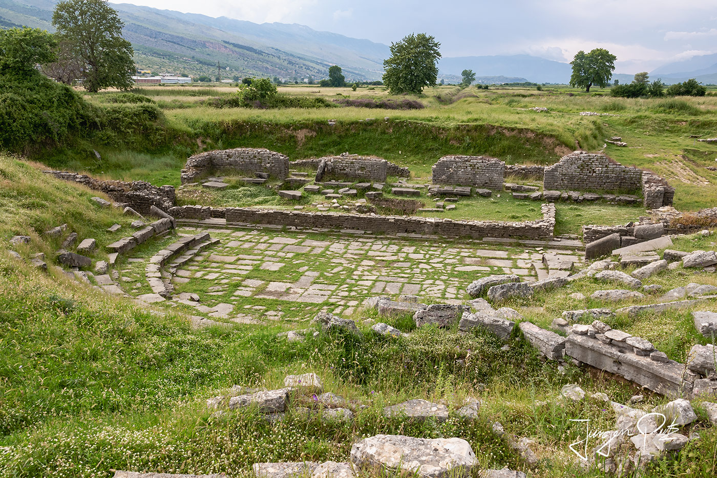
Located above a large artificial embankment, the theater was restored in the 4th century AD and was the stage for venationes (fights with wild animals) and probably also for gladiator fights.
The following day, another excursion was on the program, a visit to the "Syri i Kaltër - Blue Eye", a karst spring on the western slope of the Mali i Gierë mountains about 35 km south of Gjirokastër.
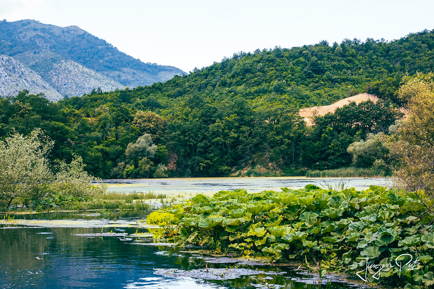
The area around the spring is a nature reserve and is designated as a nature park, through which an approximately half-hour walk leads to the actual spring, which is surrounded by oak and plane tree groves.
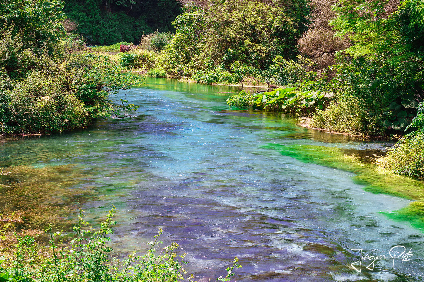
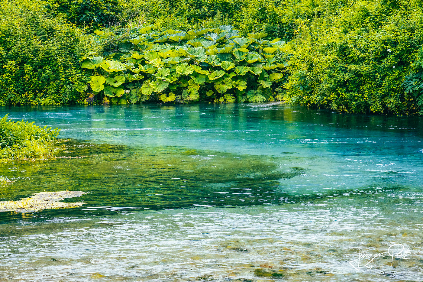
At the actual spring, the water of the lakes and streams formed here glows against the backdrop of the light limestone in a beautiful range of colors from deep blue to Caribbean green.

Unfortunately, a restaurant has opened in the immediate vicinity of the waters, so that the magic of this place has suffered badly. It is therefore advisable not to go here at the weekend or during the peak tourist season, as the "Blue Eye" is well worth a visit.
A special destination awaits us on the last day of our trip. We visit the ruins of Butrint.
Butrint is located in the south of Albania, about 20 km from the modern city of Saranda. Butrint stretches out on a peninsula surrounded by Lake Butrint to the north and east and the Vivar Canal to the south, and this ancient settlement lies in an extraordinary cultural landscape that has developed organically over many centuries and has been spared much of the destruction that has so diminished the value of most historical landscapes in the Mediterranean.
Butrint represents a very rare combination of archaeology and nature, is a microcosm of Mediterranean history and was declared a UNESCO World Heritage Site in 1992.
Butrint has been inhabited since prehistoric times. Over the following centuries, it was the site of a Greek colony, a Roman town and, with the rise of Christianity, the seat of a diocese. After a period of prosperity under Byzantine administration and a brief occupation by the Venetians, the town briefly became French property before being conquered by the Ottomans. Finally, in the 19th century, the city was abandoned after swamps formed in the area. Today's archaeological site is a collection of ruins that represent each period of the city's development.
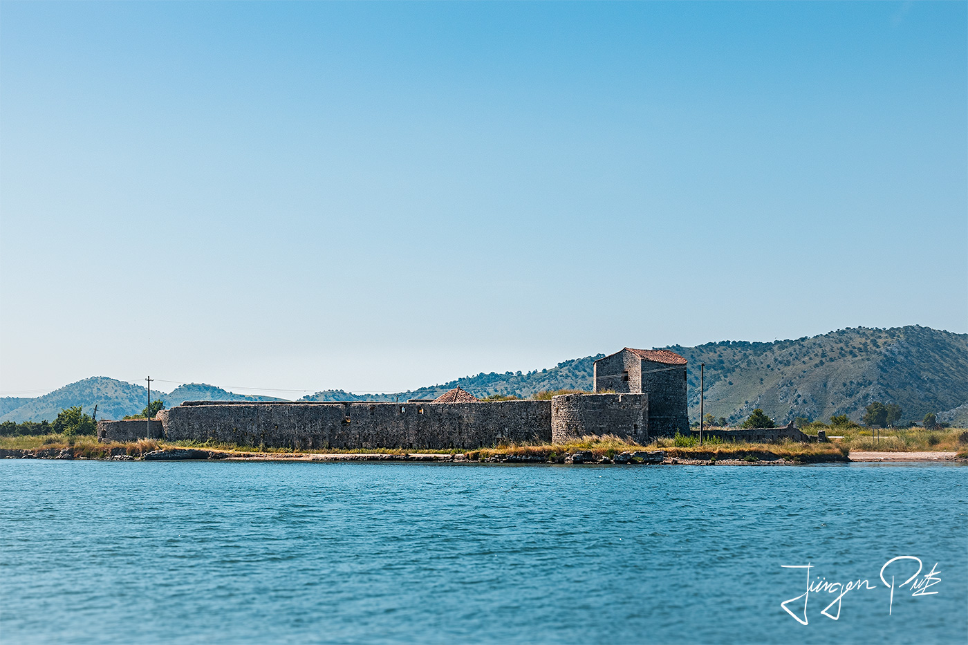
At the mouth of the Vivari Canal, a new fortress was added to the defense system at the beginning of the 19th century to control access to Butrint. It was built by Ali Pasha, an Albanian Ottoman ruler who controlled Butrint and the surrounding area until the city was finally abandoned.
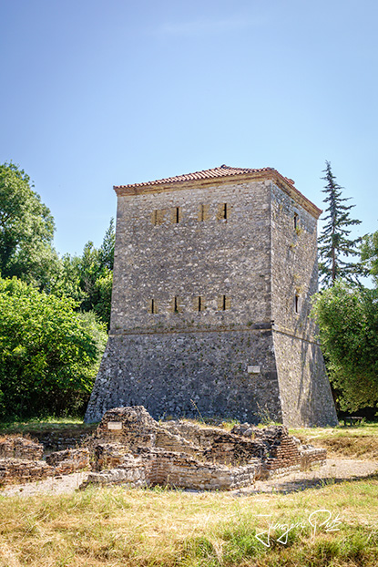
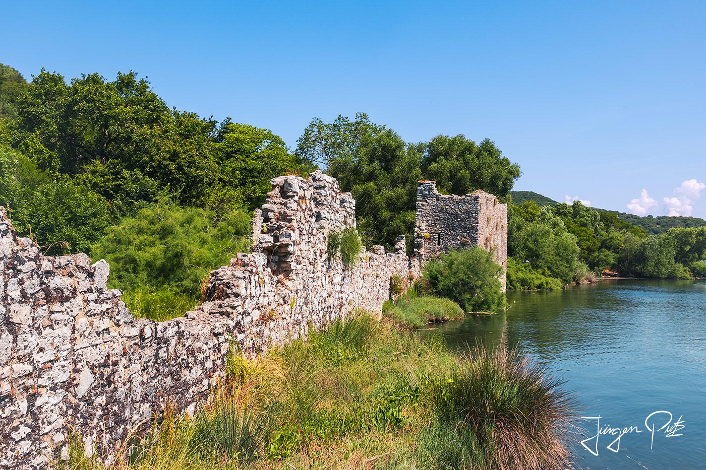
On the canal bank is a Venetian tower that was probably built by the Venetians in 1717/1718. It was probably used to protect the canal and the Venetian fort further up.
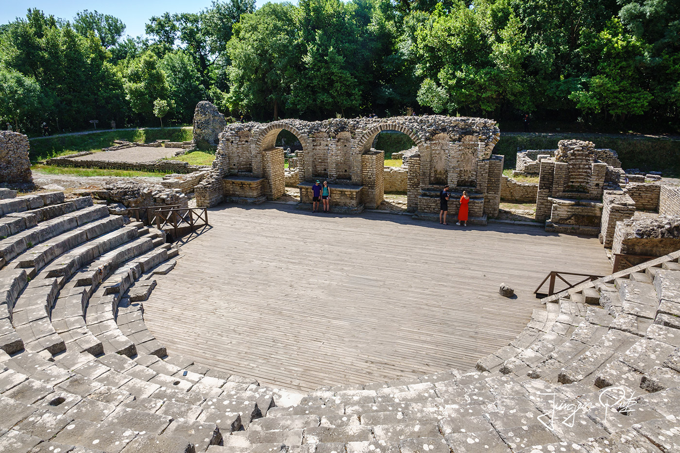
One of the best-preserved monuments in Butrint is the theater. It was probably originally built by the Greeks around the sanctuary of Asclepius, the Greek god of healing, and then rebuilt and extended by the Romans in the 2nd century AD.
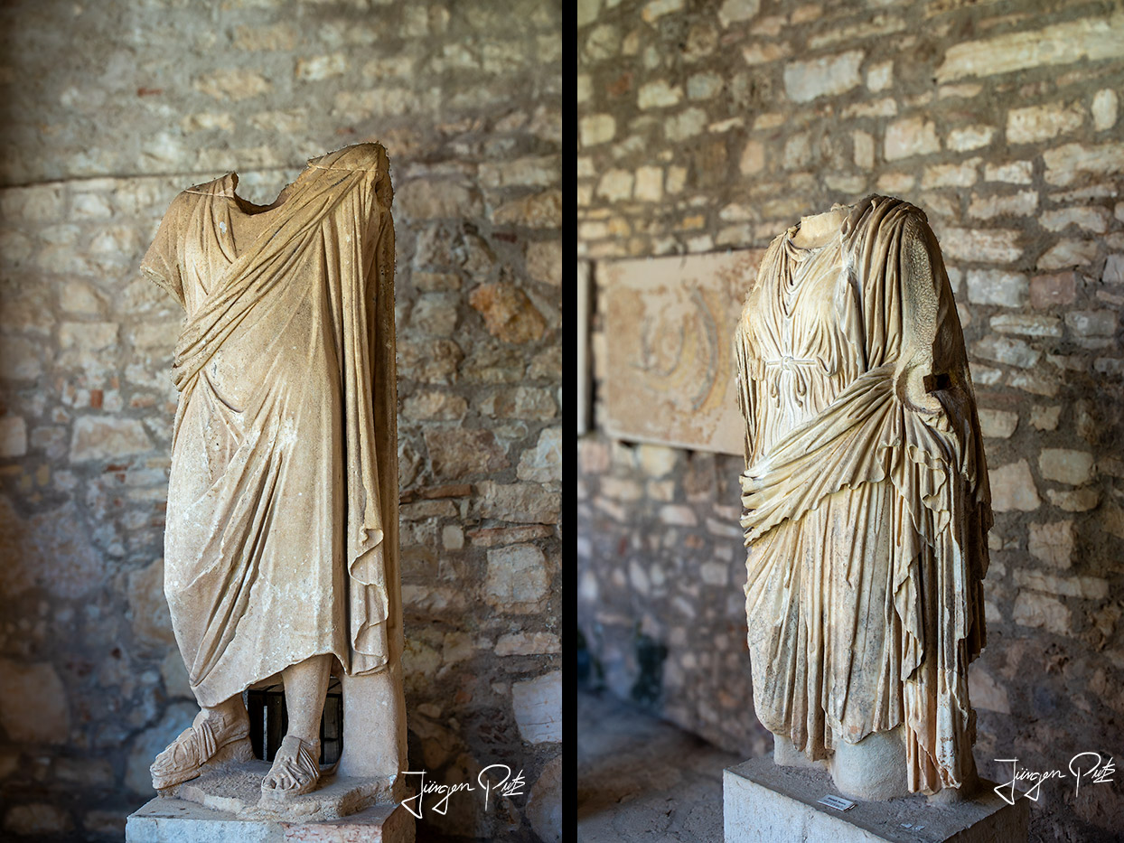
During archaeological excavations in the 1920s, a number of statues were found of the Roman Emperor Augustus, his wife Livia and important military leaders. Inscriptions in ancient Greek can still be seen at the entrance to the theater, recording the names of slaves who were granted freedom in the theater.
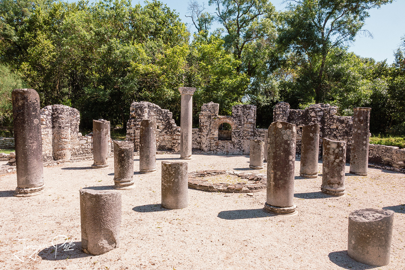
A baptistery was originally the name given to the basin of a Roman cold-water bath within a thermal bath complex. Christians adopted the term for the baptismal font.
The Baptistery of Butrint is the most important remnant from the city's early Christian period. It was built inside the city's Roman baths. Its pavement was decorated with rich mosaics.
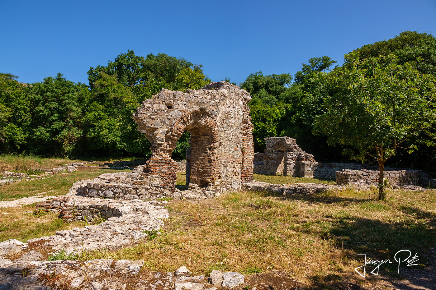
The Trikonch Palace in Butrint was originally a traditional Roman villa from the 2nd to 3rd century AD, with rooms decorated with mosaics arranged around a peristyle. The owner was probably a person with the rank of senator. Around 400 AD, the house was converted into a full-fledged palace, with the original courtyard being extended, a new eastern wing and a luxurious dining hall with three alcoves built on the riverbank.
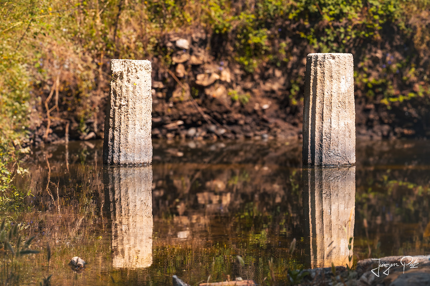
In 1980, a grammar school - in ancient times a place for the physical, character and intellectual education of young men - was discovered in Butrint. This complex also contains a nymphaeum, a sanctuary for nymphs, which was built over a longitudinal fountain. The apse on the eastern narrow side of the complex is divided by three niches, in the bones of which mosaic pictures have been preserved.

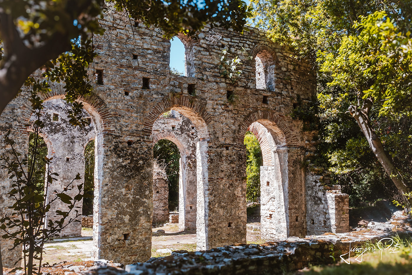
Butrint already had a bishop in the 5th century. The large basilica was then built at the same time as the baptistery during Byzantine rule in the 6th century and was then the seat of the bishop until the 16th century. Its floor was probably decorated with mosaics, remains of which can still be seen in the chancel.
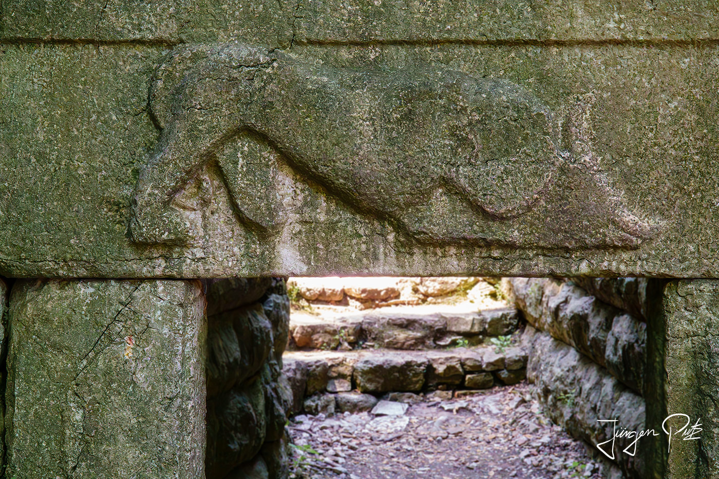
In the north of Butrint there is a passageway, which was probably built very flat in the 6th century A.D., probably for defensive reasons. Above it is a relief showing a lion fighting a bull, probably from a temple from the ancient acropolis.
The city walls of Butrint surrounded the entire peninsula and have largely been preserved. The walls facing the lagoon were first built in the 6th century and were last conserved between 2007 and 2011.
At the end of our visit, we climb up to the old site of a Venetian fortress, the was built in the 14th and 15th centuries on the highest and most easily defended area of Butrint. However, the castle that stands there today was completely rebuilt in 1936 by Luigi Maria Ugolini following the demolition of the older, dilapidated buildings.
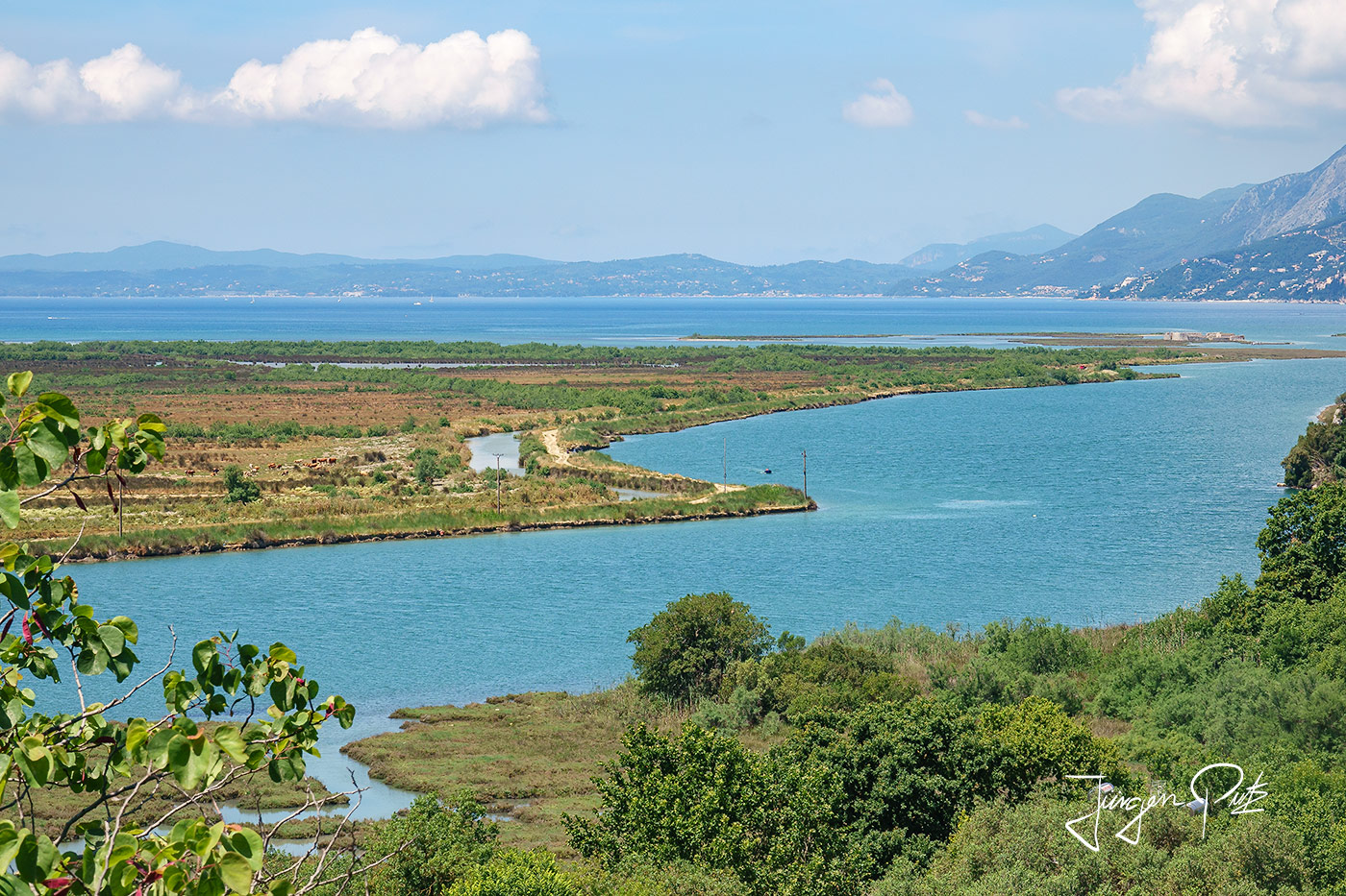
From here you have a fantastic view of the Vivar Canal and the Strait of Corfu. At the end of our sightseeing tour we visit the castle museum, where finds from the excavations at the site are exhibited.
In the evening we drive back to Saranda, from where we start our return journey the next day.
"We will be back"
Information:
One Comment
Leave a comment Antworten abbrechen


Gracias Juergen por esta fantástica explicación del itinerario a seguir para visitar este país que parece maravilloso y a la vez muy poco explotado turisticamente. Me hago una buena idea de su historia y lugares imprescindibles a visitar. Seeing the many photos you have shared makes me want to start my trip as soon as possible.