The Corfu Trail
Kerkyra is the modern Greek name for Corfu, the northernmost of the Ionian Islands. It lies at the entrance to the Adriatic between the boot heel of the Italian peninsula and just two kilometers from the Albanian coast.
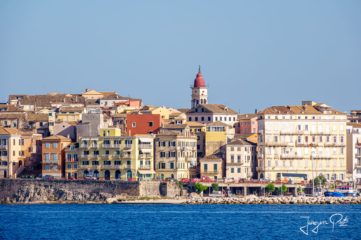
The Corfu Trail
This beautiful, approximately 180 km long hiking trail was established in 2001 by the Corfu-based hiker Hilary Whitton Paipeti.
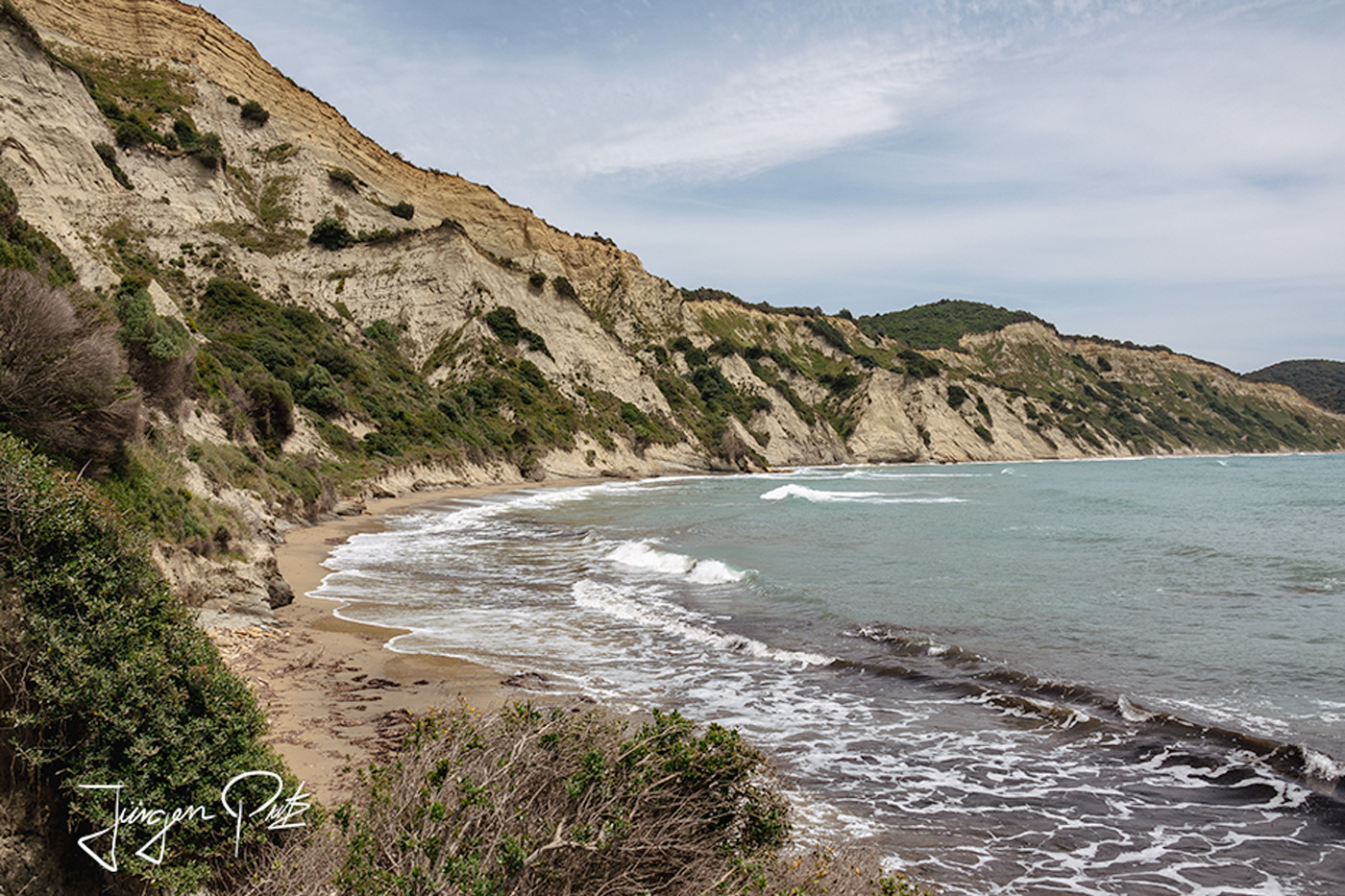
From Arkoudillas in the extreme south of the island, the trail leads to Cape Agia Ekaterini, the northernmost point of Corfu. Along the way, the hiker discovers the magnificent sandy beaches in the west of the island, crosses the olive groves and fern forests inland for a detour to the east coast and then returns to the dune landscapes on the west coast. Finally, it crosses the karst plateau and the wild, lonely gorges of the mountain landscape in the north before finally reaching the destination, the wild coast in the north of the island.
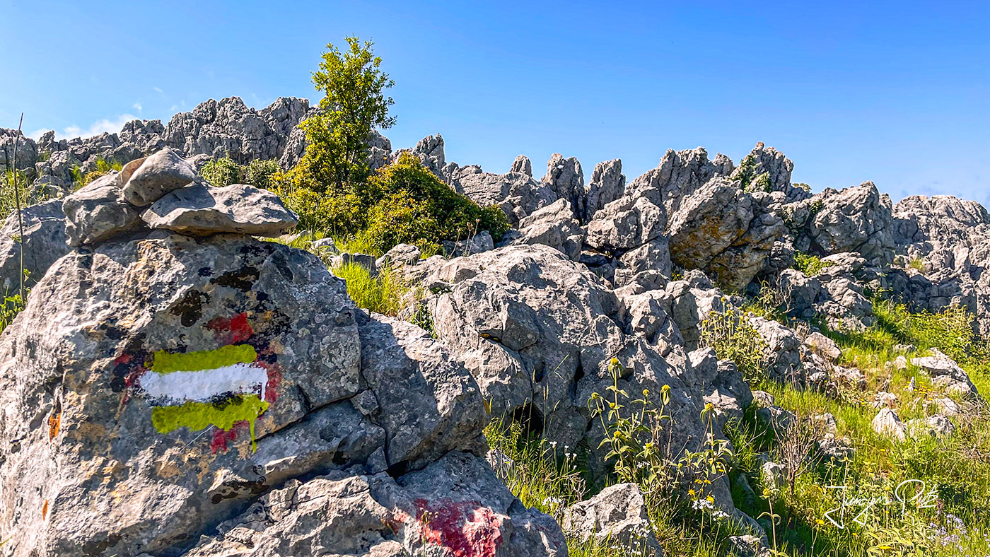
Small yellow signs and markers marked with CT lead hikers through rural areas, extensive fern forests, picturesque little villages, monasteries and to some of the island's most beautiful viewpoints.
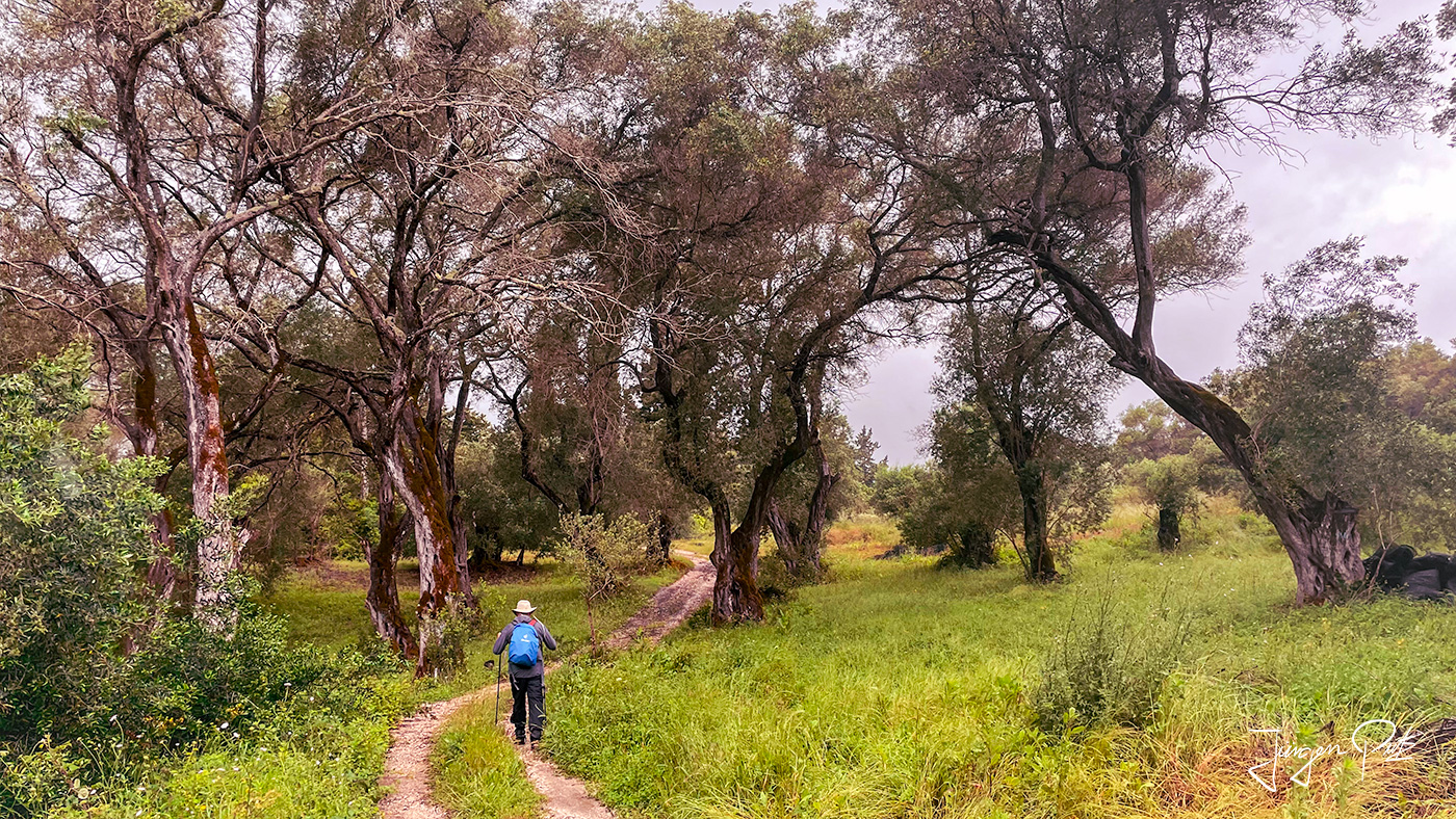
The individual stages are easily manageable even for inexperienced hikers, and if you want to make things easier for yourself, you can book a luggage service from experienced local providers or do the whole tour yourself can be planned.
Lefkimmi
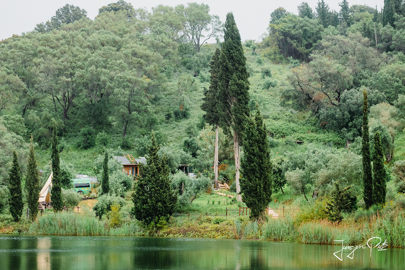
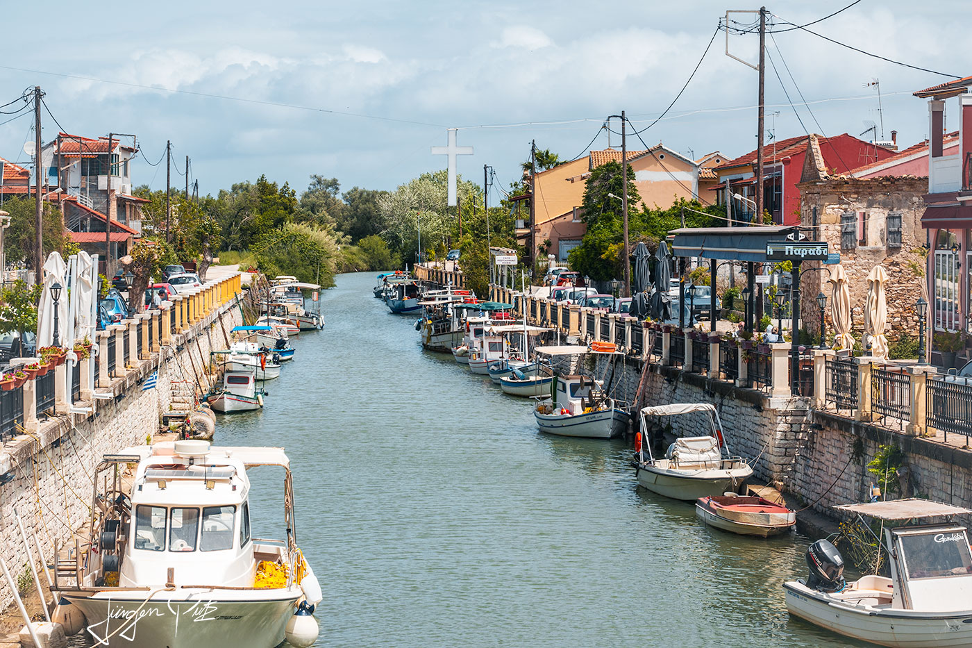
With just 5000 inhabitants, Lefkimmi is the second largest town on Corfu. There are only a few tourists here, most of whom prefer to spend their time on the nearby beaches. The atmosphere here is very relaxed and the tavernas along a river that crosses the village are an inviting place to take a break.
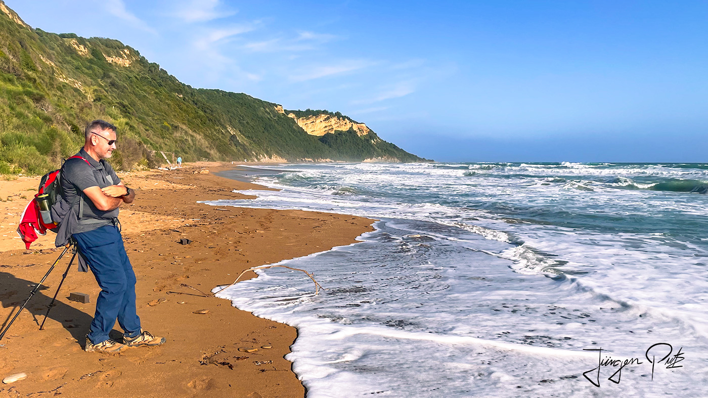
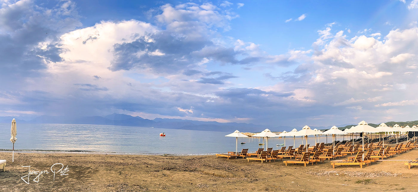
The Corfu Trail now takes us to the west coast to Santa Barbara. The beautiful, often deserted sandy beaches invite you to swim and the deep blue sea offers a fantastic view.
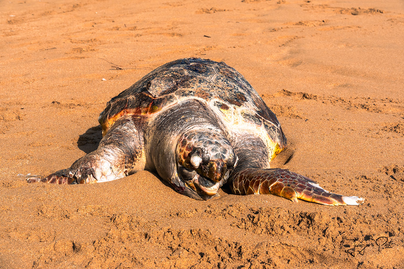
Shortly before reaching our accommodation, we spot a large sea turtle on the beach. However, our initial joy quickly evaporates when we discover the deep wound on the animal's neck, which was probably caused by a motorboat. The turtle has probably died from this injury and we sadly walk the last few meters to our accommodation.
The next day, we continue along this beautiful sandy beach before reaching our first stopover, the Korrison Lagoon.
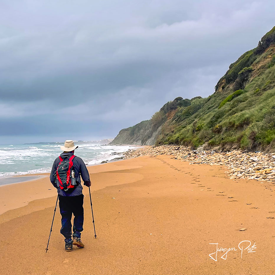
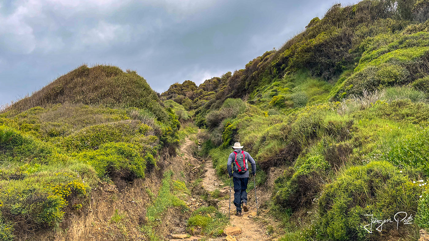
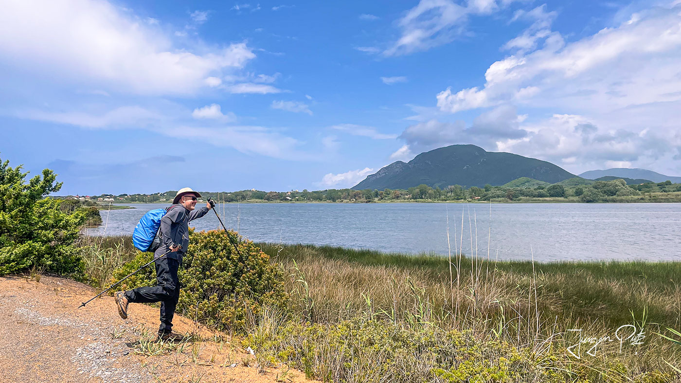
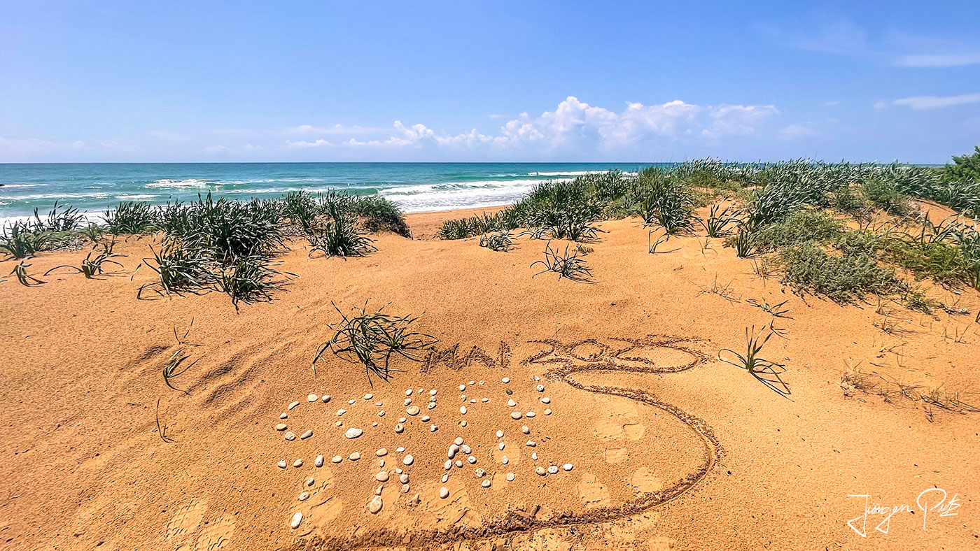
We now walk along a long land bridge with the lagoon on our right and the Ionian Sea on our left through a distinctive dune landscape.
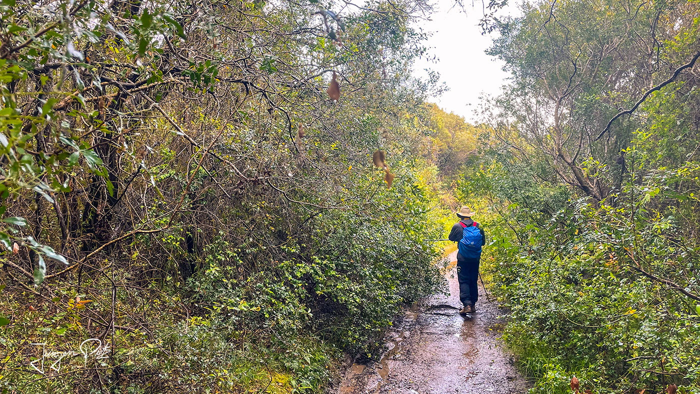
At the end of the land bridge, we cross an almost enchanted-looking forest and finally reach the village of Paramonas at the foot of Agios Matheos mountain after a good 20 km.
We enjoy our dinner and an ouzo in a small taverna on the village beach as the sun sets beautifully.
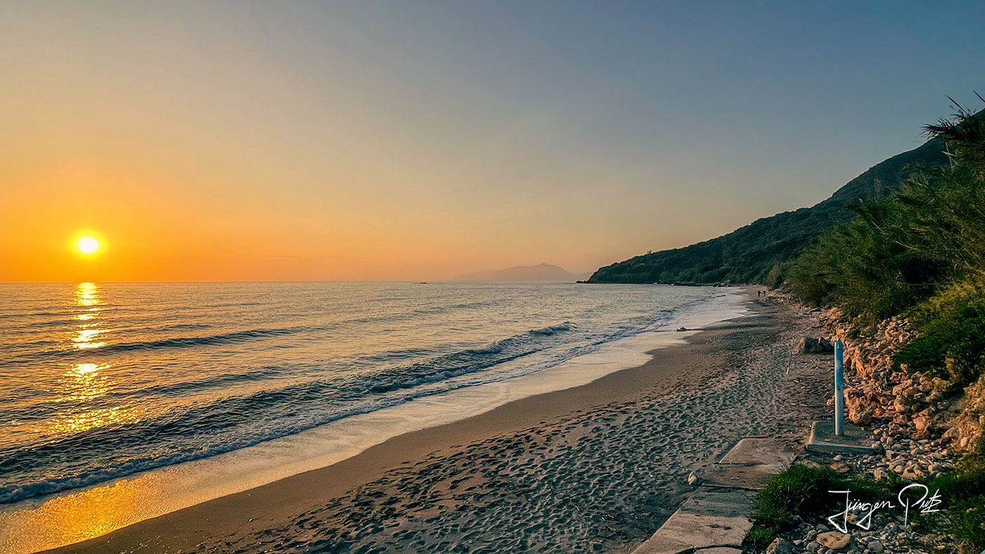
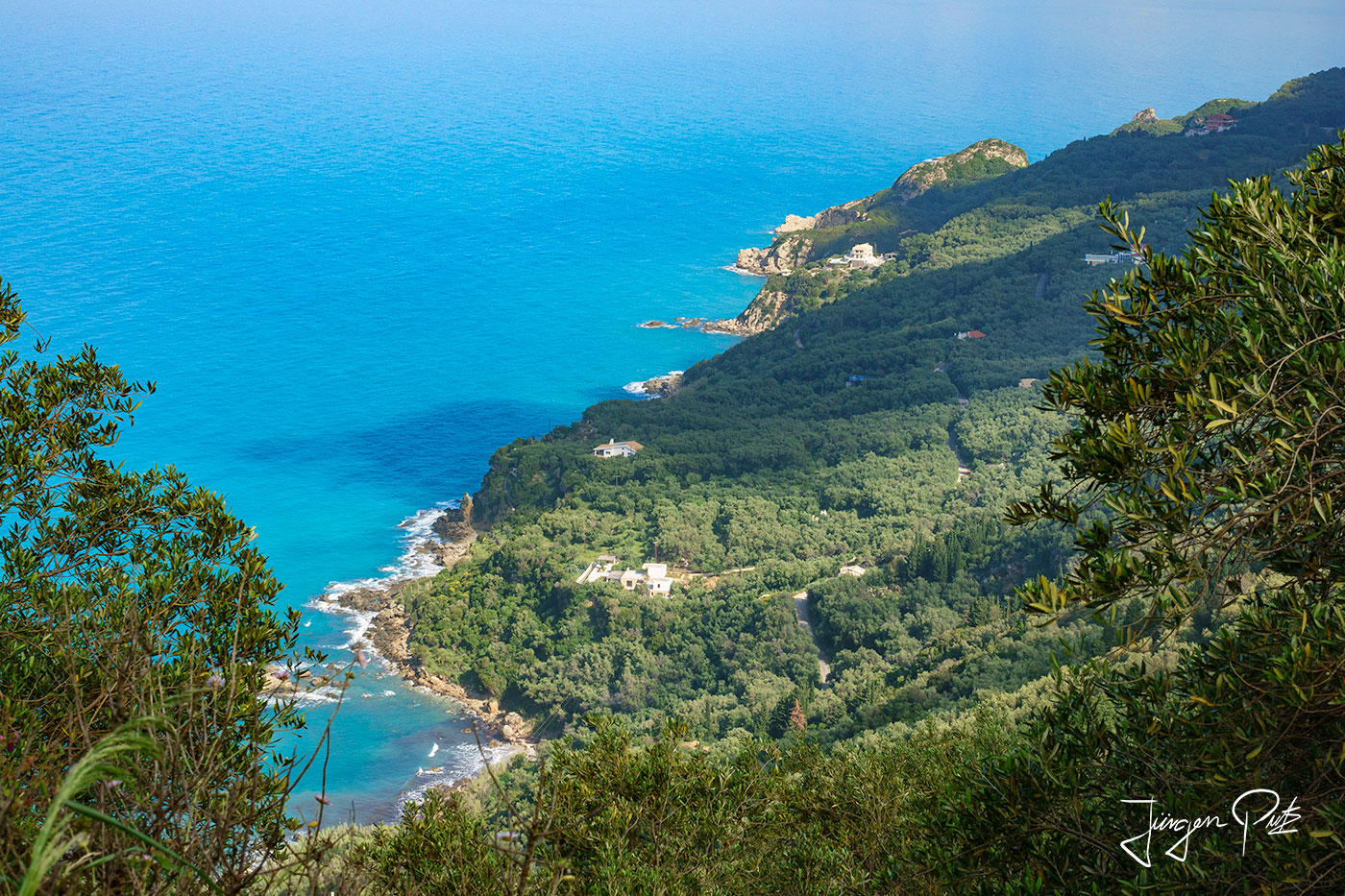
Early in the morning, we set off from our accommodation on a steep climb up to the ridge of the western coastal mountain range. From here, we have a magnificent view of the deep blue Ionian Sea.
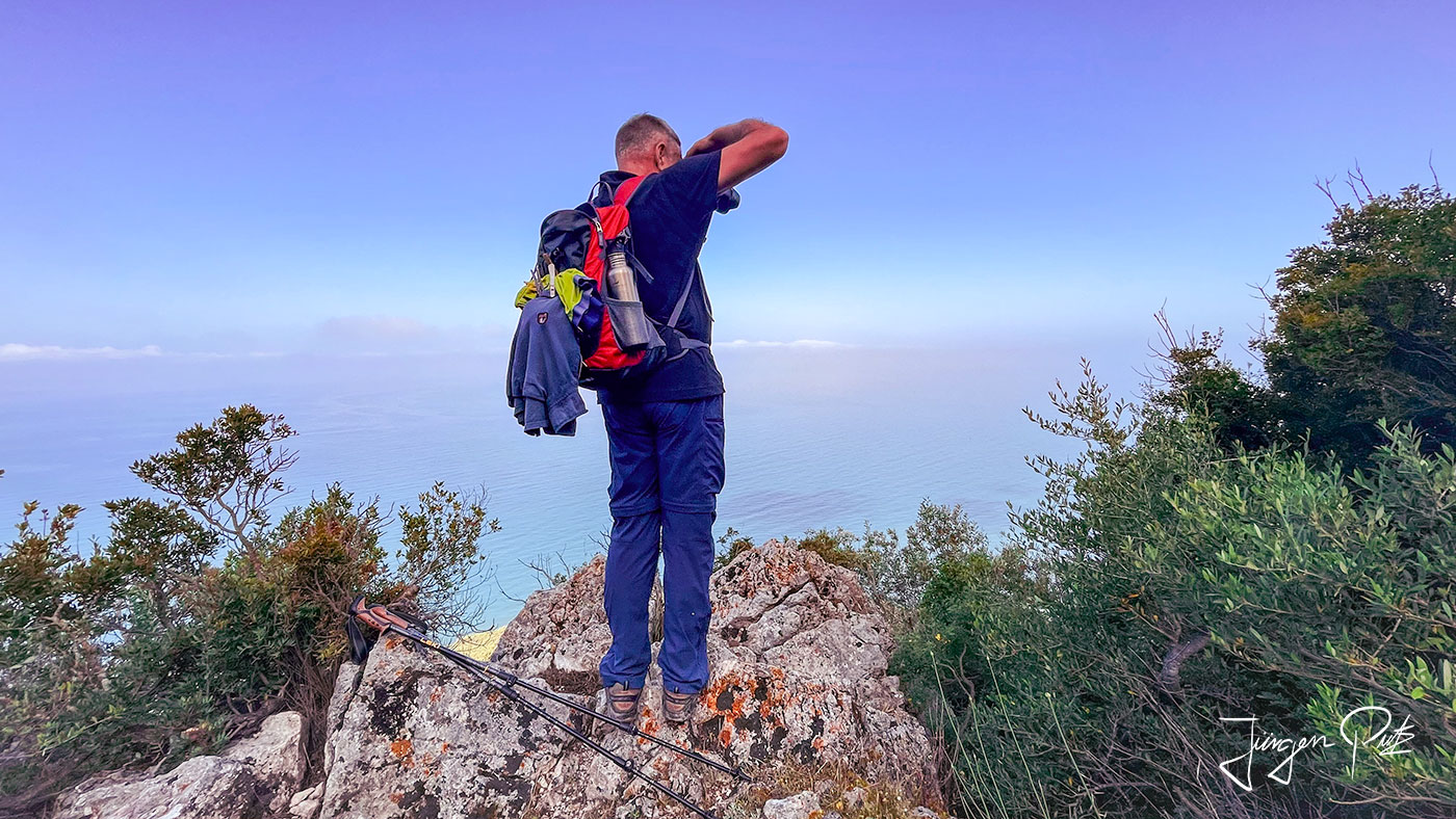
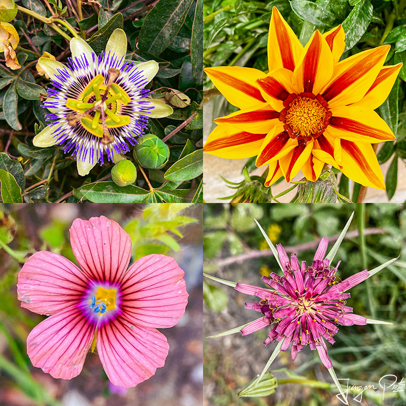
Now we head westwards into the interior of Corfu and cross the small villages of Ano Pavliana and Kato Pavliana. Numerous wild plants bloom along the way.
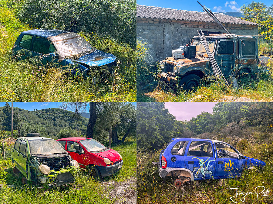
We continue west to the small, picturesque village of Vouniatades. Here we find various car wrecks, some of which are already overgrown with grass, which their owners have probably disposed of here.
Komianata
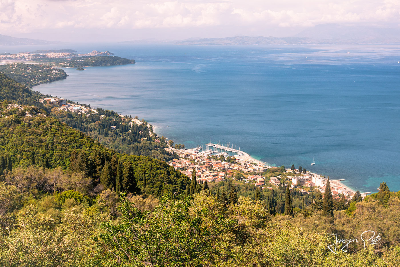
We then cross a wide plain and after another ascent we reach the village of Komianata, from where we have a magnificent view of the east coast of Corfu and Benitses, our destination for today.
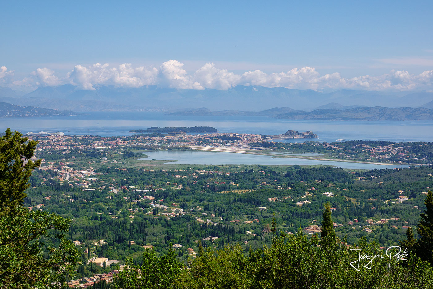
In the morning, we first take a cab to the village of Stavros, which is located along the route. From there, the hike first takes us to the summit of Mount Agia Deka (576 m). There we enjoy the fantastic view before taking a rest from the climb at a nearby abandoned monastery.
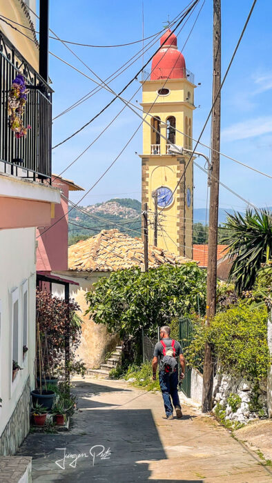
We continue towards the west coast, until we reach the small mountain village of Sinarades. In this charming village with its traditional buildings, old churches and winding alleyways, you get a sense of what life was once like on Corfu.
Pelekas and the imperial throne
From Sinarades, we can also see Pelekas, our destination for the day, situated on a mountainside.
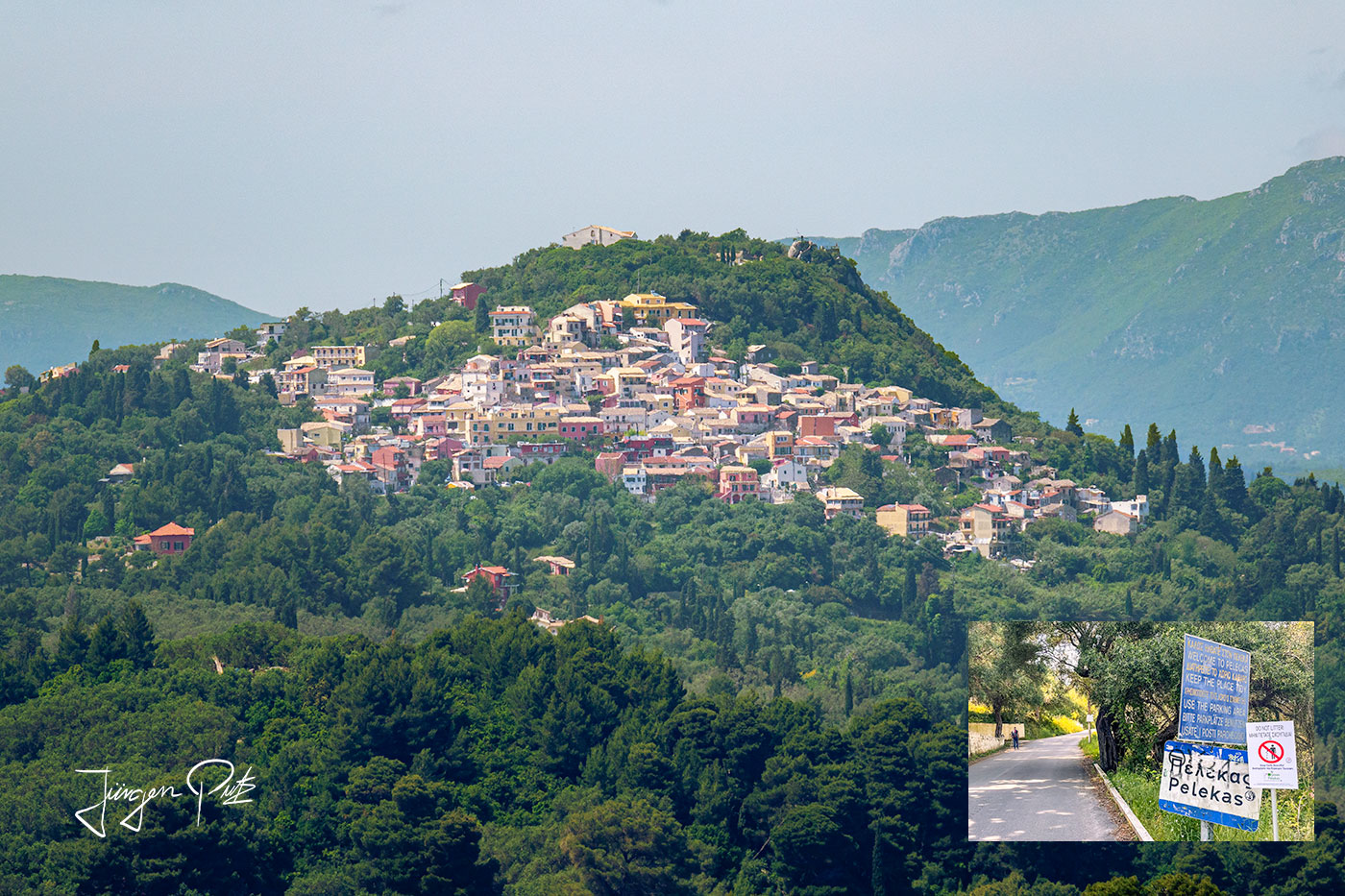
A special place in Pelekas is the imperial throne.
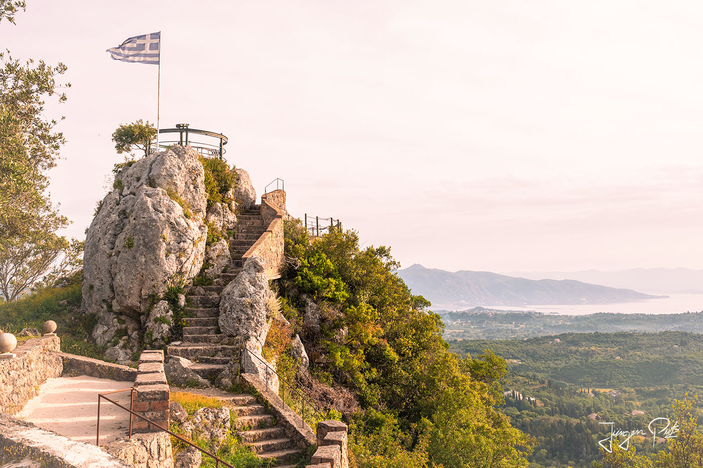
Empress Elisabeth of Austria-Hungary, known as Sisi, loved Corfu. She bought an old villa here and it was restored on her behalf between 1890 and 1892. The "Achilleion", whose architectural design is reminiscent of an ancient Phaeacian palace.
The German Kaiser Wilhelm bought the palace in 1907 and spent his summer vacations here between 1908 and the First World War. His favorite excursion was to Pelekas. The emperor loved to watch the sun set over the hilly landscape from a steep hill above the village. This spot on the rocky peak above the village is still known today as the "Emperor's Throne".
The next day, we set off from Pelekas along a beautiful coastal path.
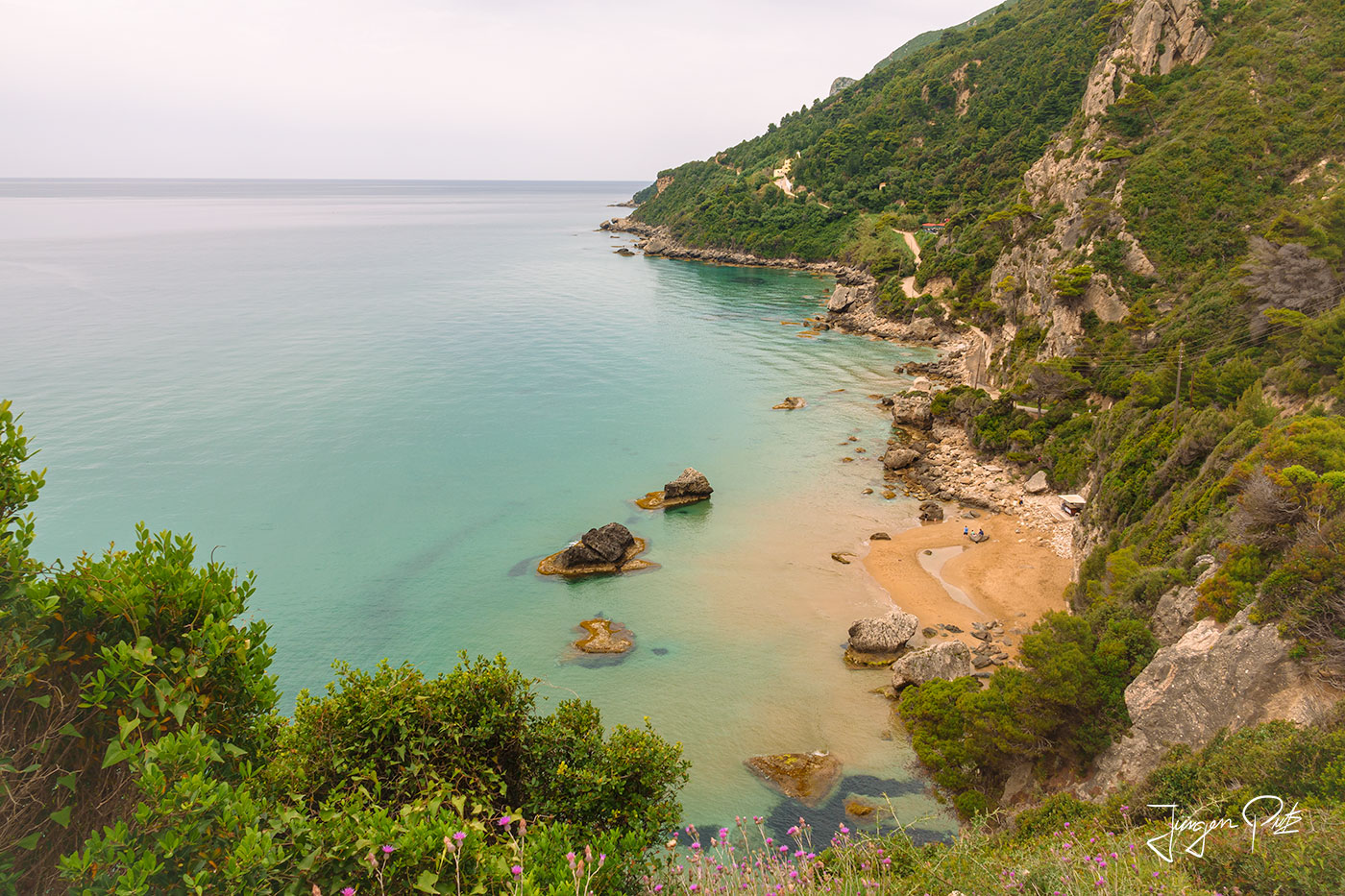
After a steep climb, we leave the coast and reach the village of Vatos. We continue through the plain shaped by the river Ropa until we finally arrive at the old village of Liapades.
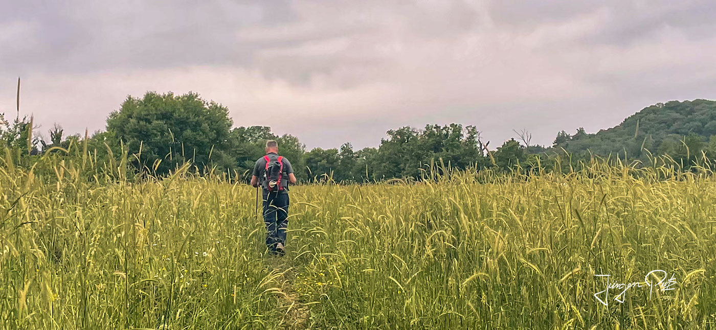
From here we descend to our accommodation, which is located on a beautiful bay.
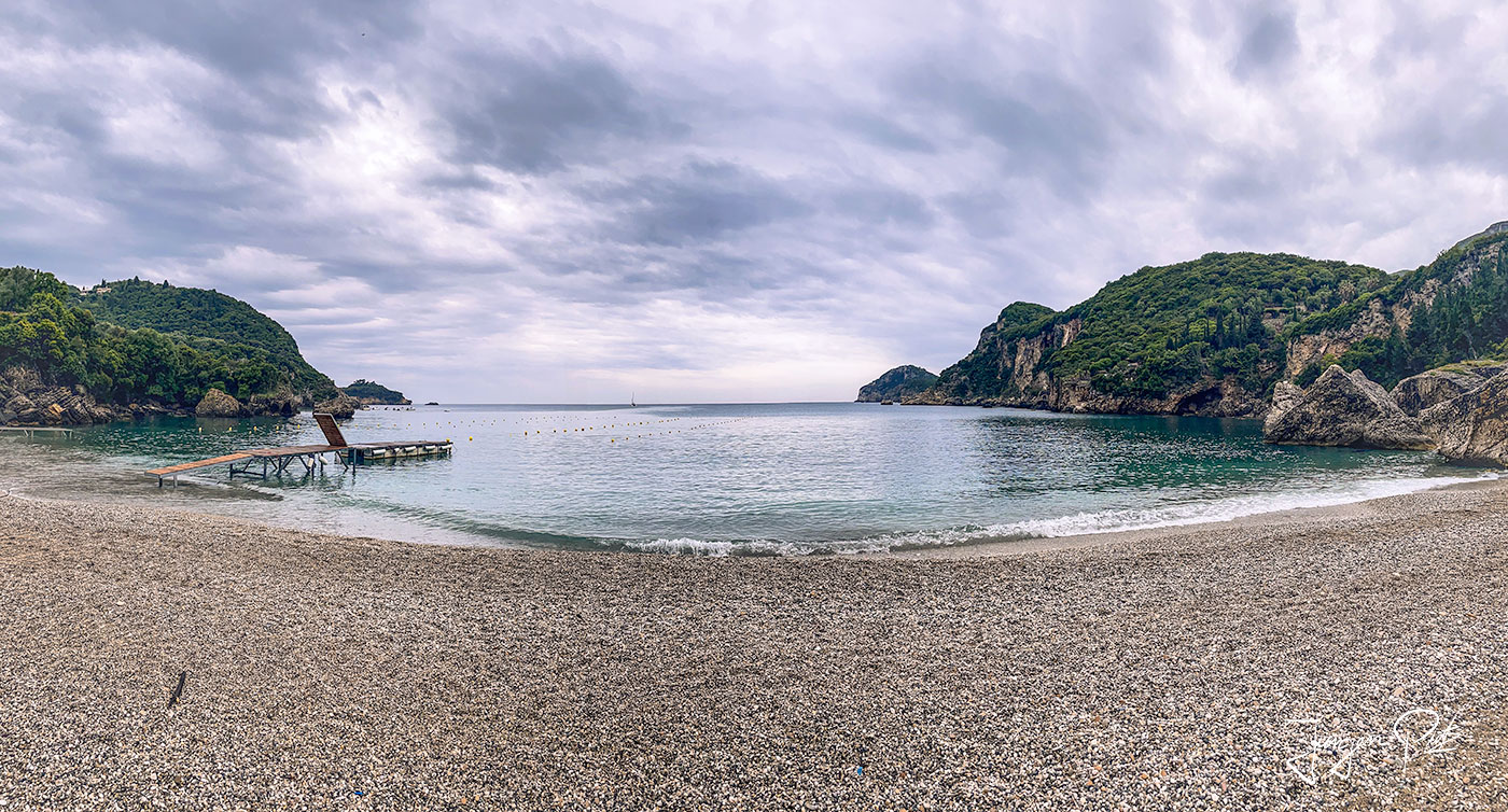
The day begins with a steep ascent.
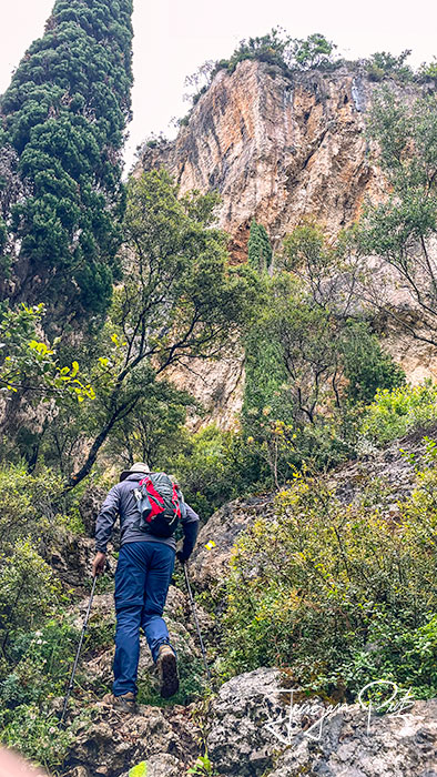
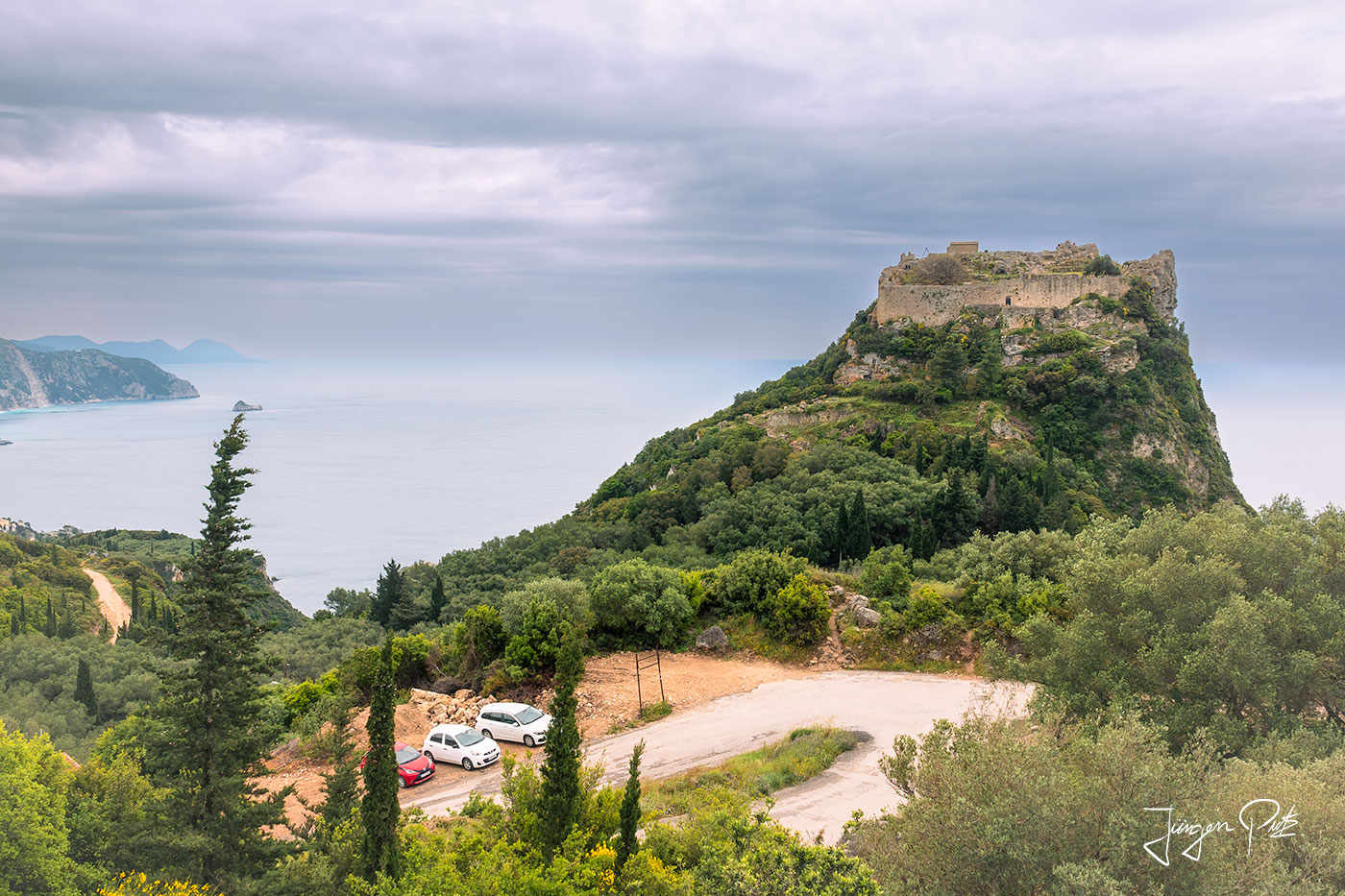
Angelocastro
Then we leave the official route and take a detour along perhaps the most beautiful old cobbled path in Corfu to the Byzantine castle ruins of Angelokastro.
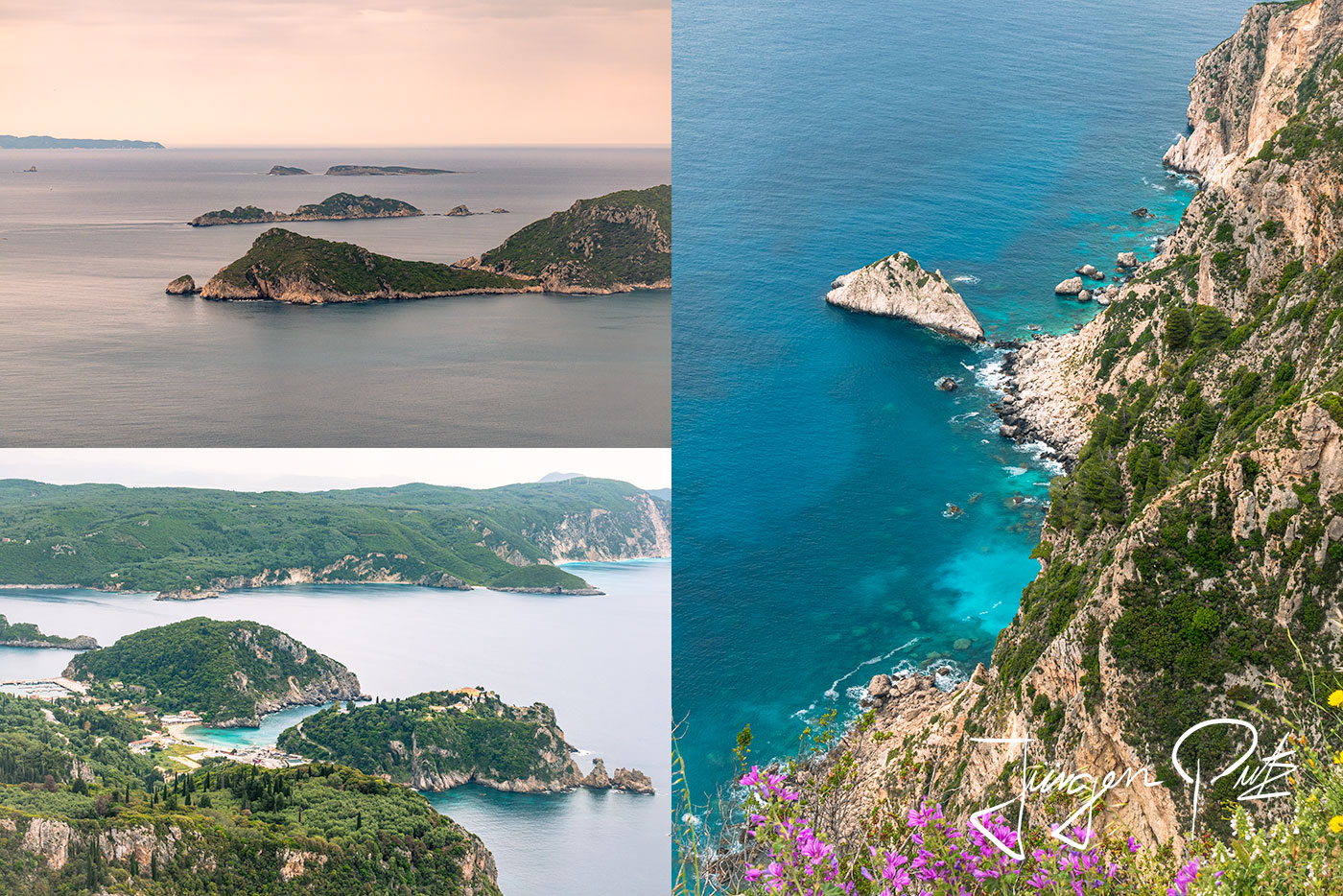
From the fortress, you have a fantastic view of the coast.
We continue to the small, high-altitude village of Krini with its beautiful market square.
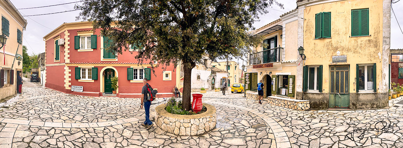
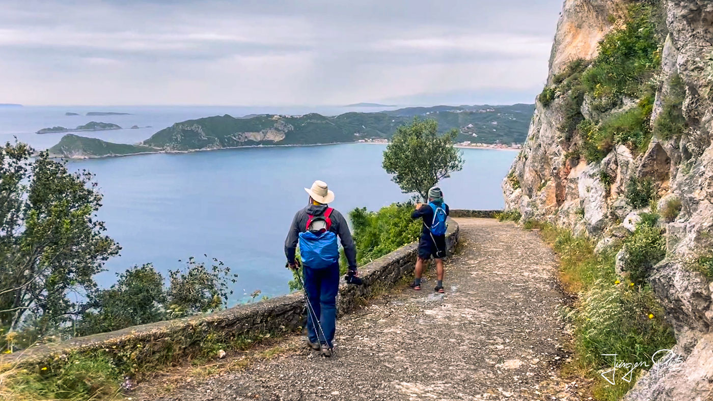
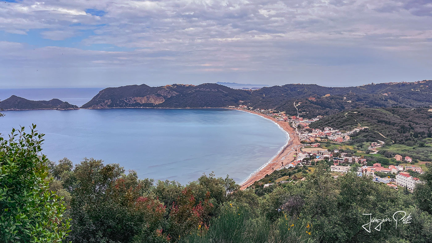
We cross the village of Makrades and finally reach the west coast again and enjoy a wonderful view of the bay of Agios Georgios - Pagon with its 3 km long sandy beach, our destination after this long hike.
Pagi - For Your Eyes Only
The next day starts with a steep climb from Agios Georgios. Shortly before the small village of Pagi, we pass an old wreck of a bus that once played a very special role in a movie. It was used in the movie James Bond - For Your Eyes Only (1981).
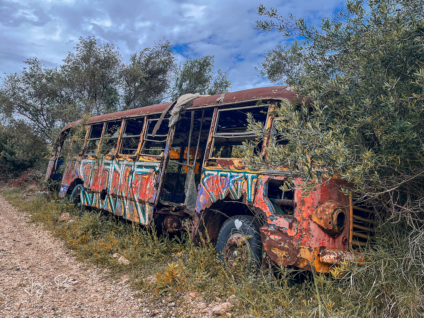
Fans still remember the scene in which James Bond (Roger Moore) and Melina Havelock (Carole Bouquet) escape their pursuers in a yellow Citroen 2CV (duck) on a wild ride through olive groves. The most memorable part is probably the stunt at the crossroads, where the Citroen overturns while Bond's pursuers are stuck behind the bus.
In the movie, these scenes are set in Spain, but in reality, the small town of Page was the location for the filming.
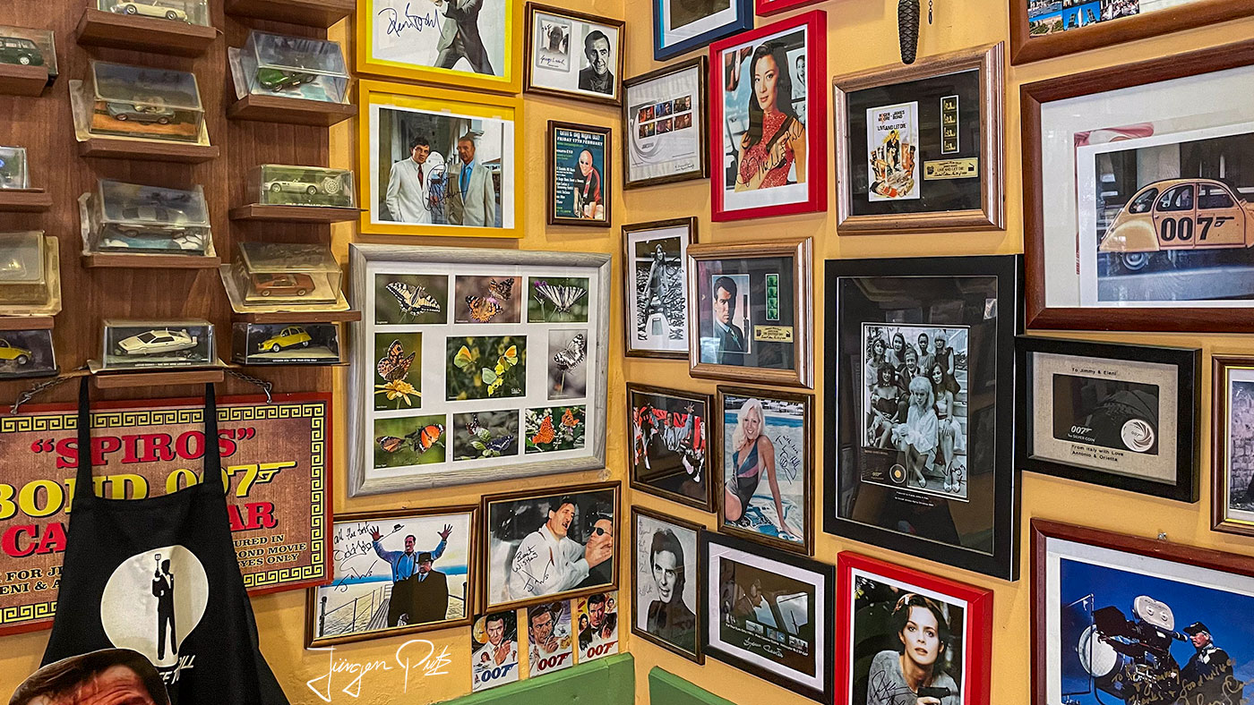
Jimmy's tavern, which is called "Spiros Bond 007 Café", is right next door and today has numerous mementos of what must have been an exciting day in this small village.
We continue on this short stage through a landscape characterized by agriculture to Rekini and then by cab to Roda, our overnight stop on the north coast.
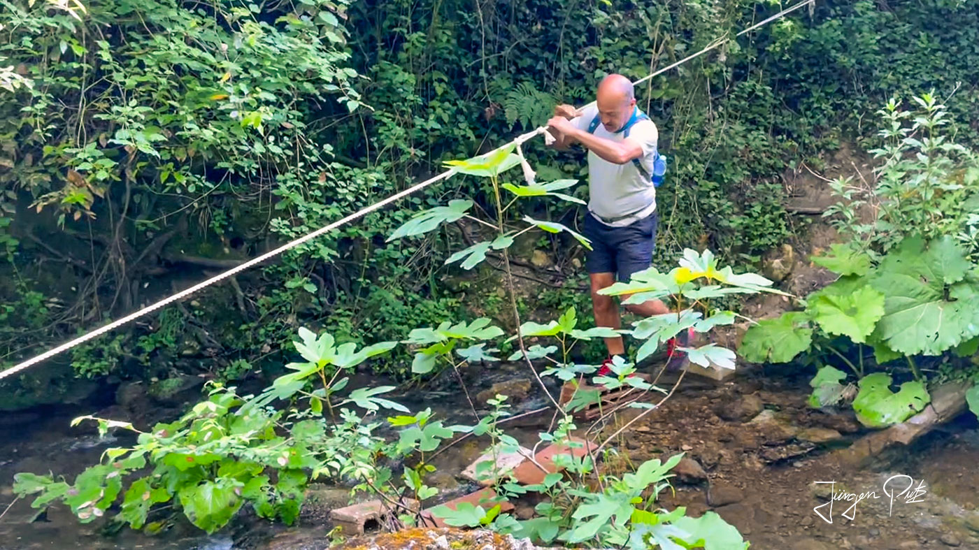
Back on our way in Rekini, we head from here through the wild north-east of Corfu to Valanion and Sokraki.
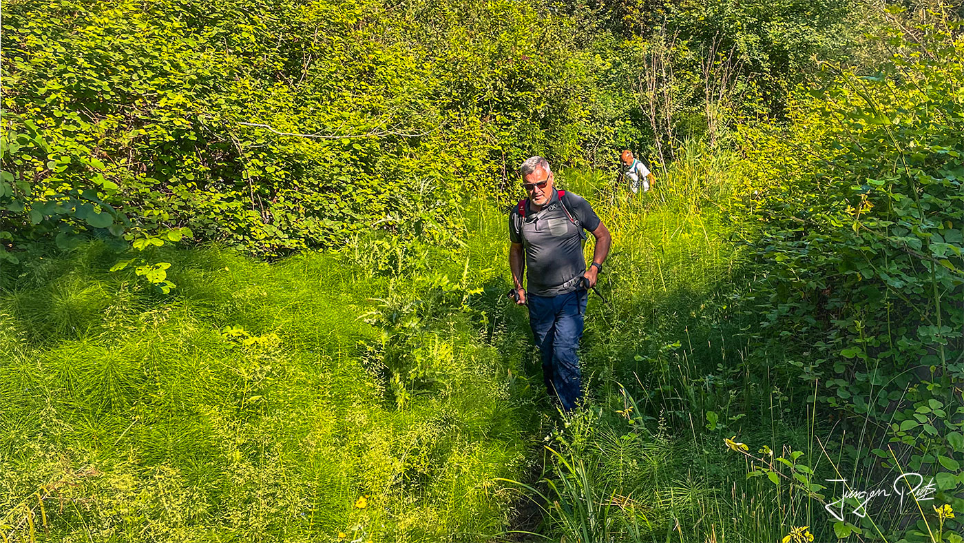
Then we reach Spartillas and Finally, we reach today's final destination, the small vacation resort of Barbati on the north-east coast of Corfu. The sea here is very clean and there are many tavernas on the beach and a beautiful view of the lights of the coast of Butrint (Albania) opposite in the evening.
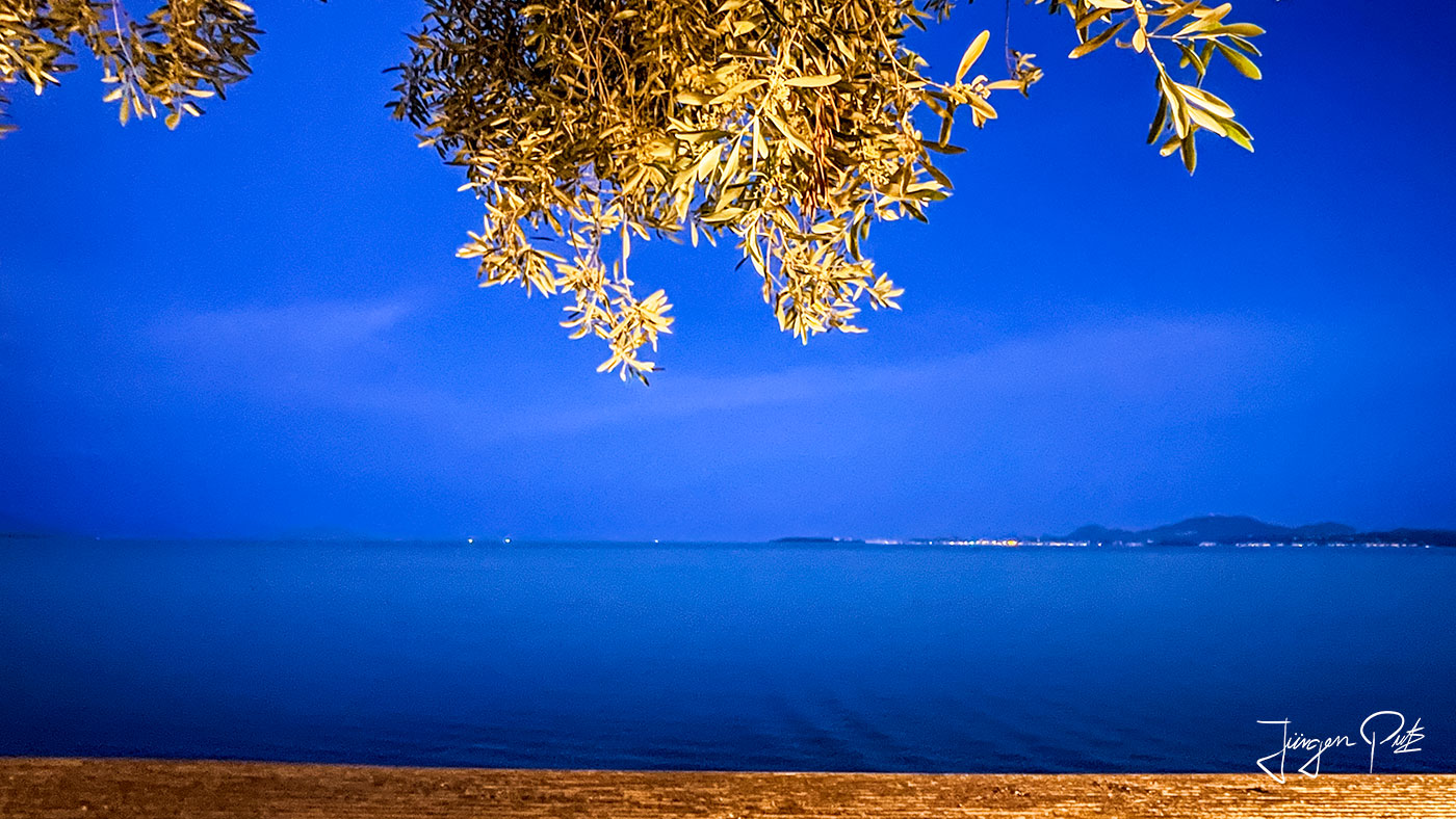
The Pancrator
The last day of the hike is the longest and most difficult stage (24 km +650m, -1000m).
First, it's about 45 minutes up to a beautiful viewpoint at the Taxiarchis chapel.
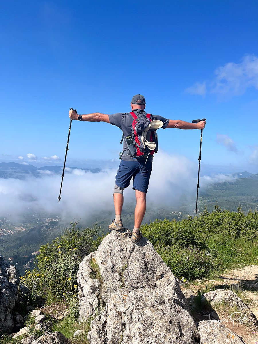
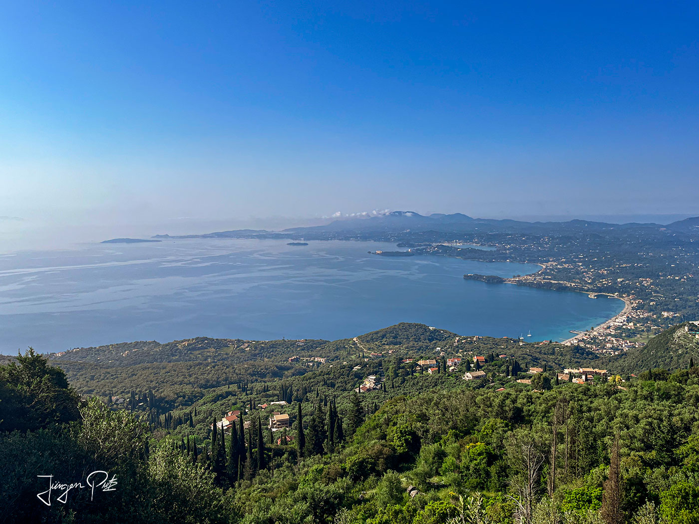
From here you have a magnificent view of the Strait of Corfu, Albania and the coast off Butrint.
The route continues over a very rocky high plateau.
In the distance, we can already see the summit of Pantokrator, the highest mountain on Corfu.
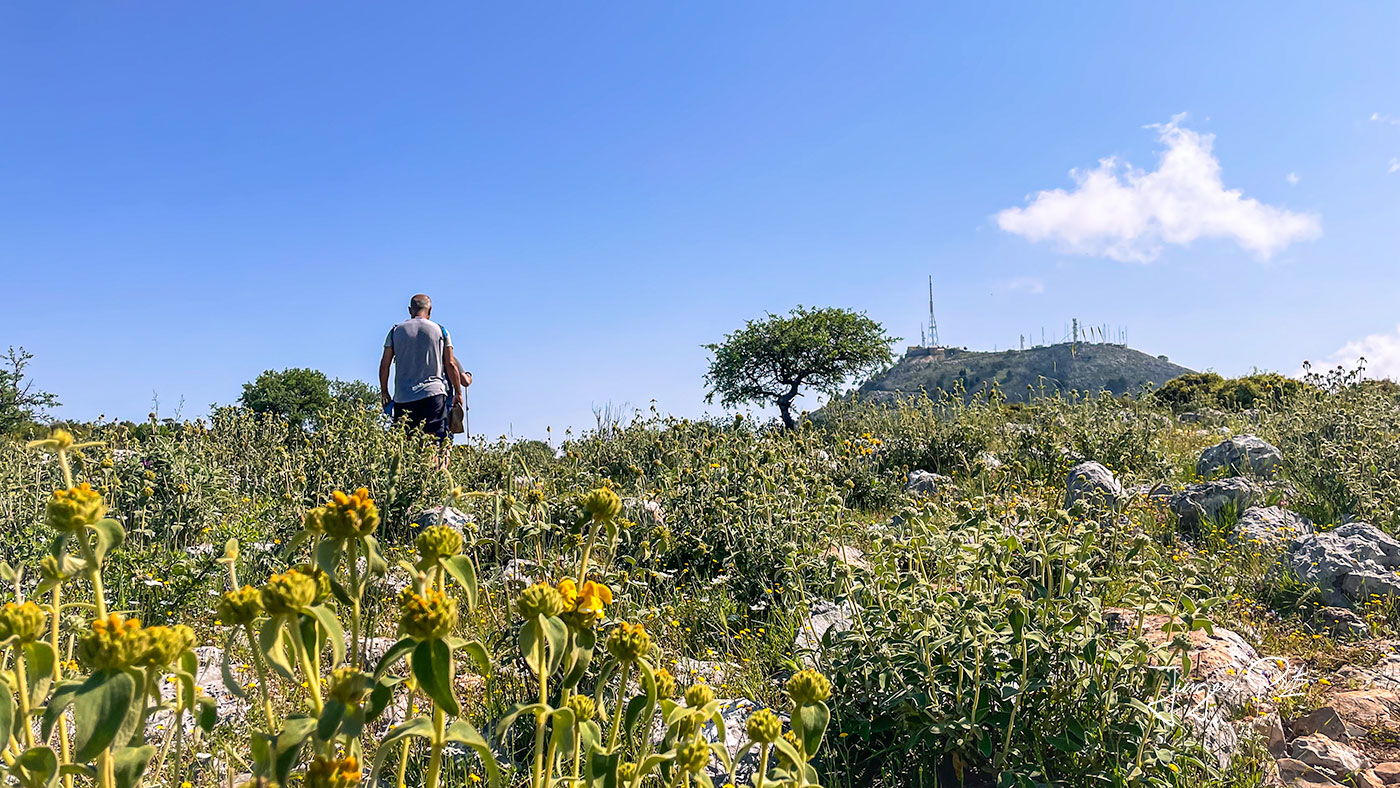
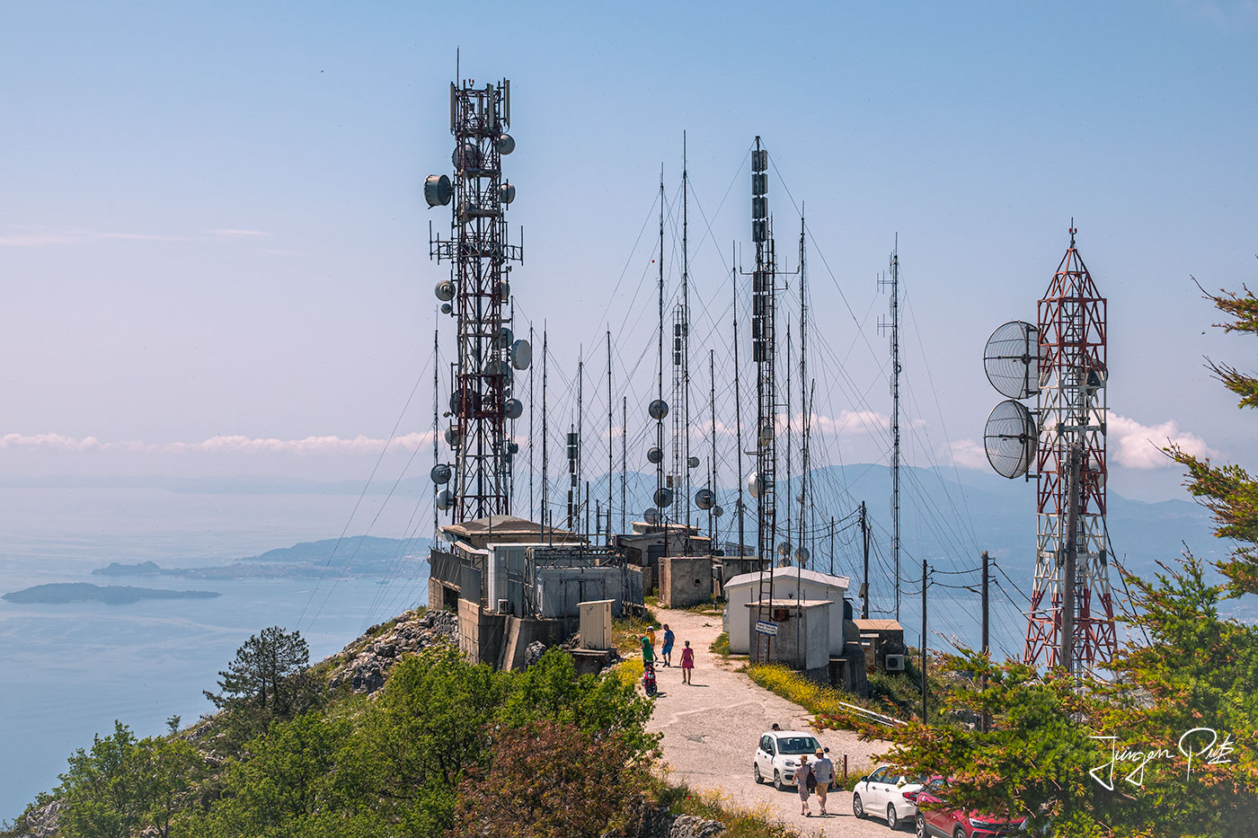
The path to the summit is not actually part of the official Corfu Trail, but of course we climb it anyway. After about 40 minutes we are at the top and again have a very nice view, but there are countless antennas mounted on the summit, which spoil the experience of standing here on the roof of Corfu.
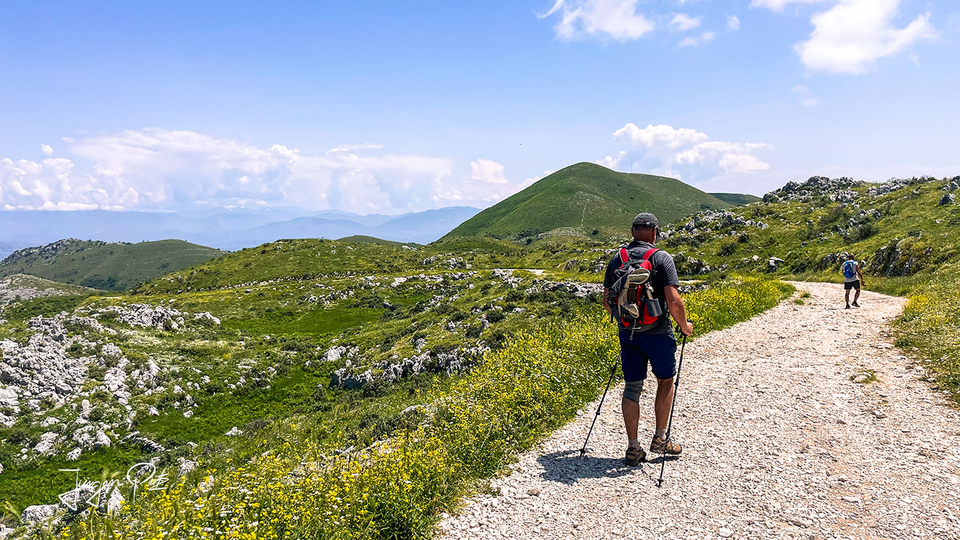
The descent from the summit initially leads along a stony path, but gradually the vegetation becomes denser.
Paleo Perithia
Finally we reach the old mountain village of Paleo Perithia.
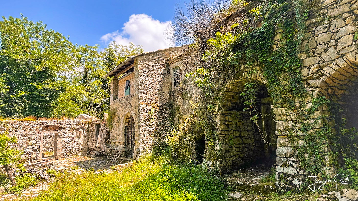
The historic, listed village of Períthia is the oldest permanently inhabited settlement on Corfu, with origins dating back to the 14th century. In the mid-17th century, the people here were very wealthy, but around 1960 the village was abandoned because people preferred to live on the coast. For some years now, however, there have been some very nice guesthouses and tavernas here again and the village has developed into a well-known excursion destination.
From here, we continue downhill along a forest path until we finally reach the northern coastal region.
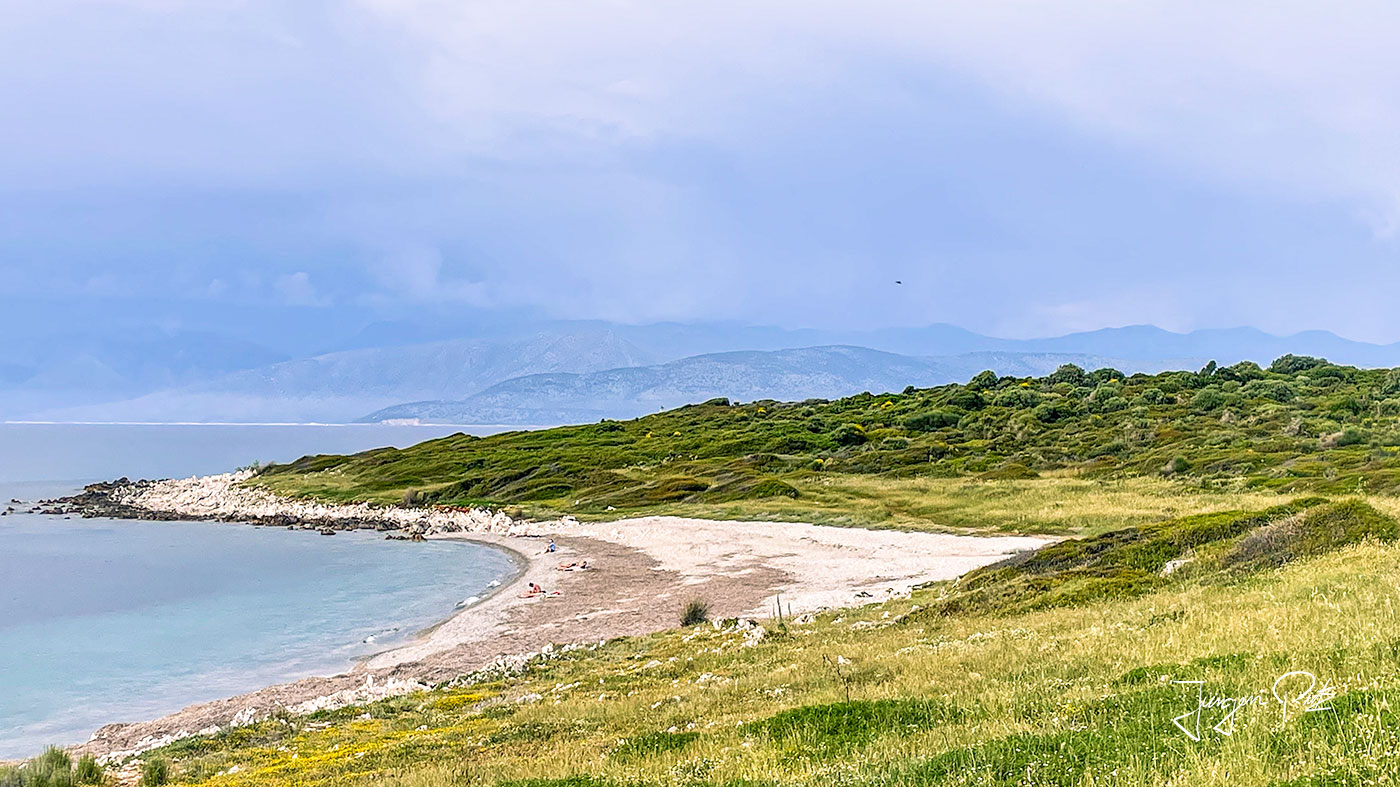
Cape Agia Ekaterini
We finally reach the most northerly point of Corfu, Cape Agia Ekaterini, along rather secluded bays.
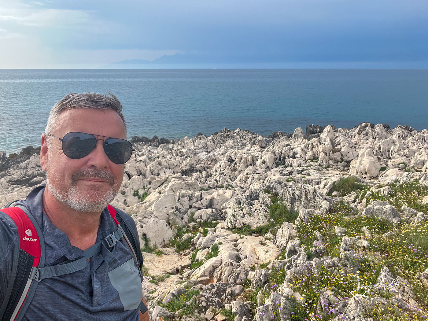
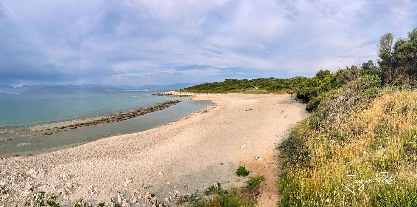
We circle the cape and discover another, very secluded bay with a beautiful sandy beach.
And then we finally reach the end point of the fantastic Corfu Trail, a small chapel in Agios Spiridon.
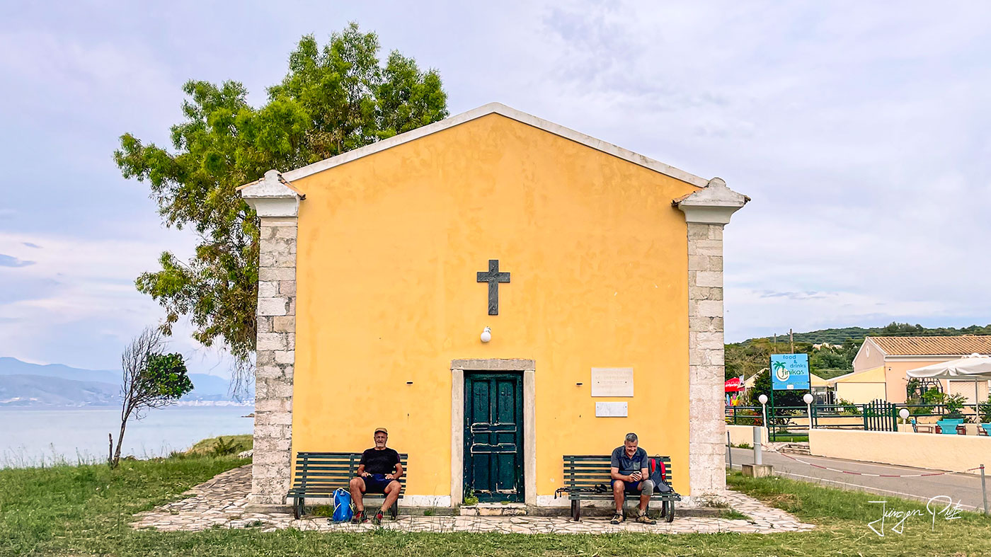
The journey is complete 🙂
2 Comments
Leave a comment Antworten abbrechen

"Om nom nom! This is such a great report! Cookie Monster is really excited! Beautiful photos and hike on Corfu, mmmh delicious for the eyes! And the mountain, wow, almost as big as a giant cookie! You did it really well, like a professional cookie baker, only with words and pictures. Cookie Monster gives you big, crumbly praise! Nom nom, keep up the good work!" 🙂
Excellent work, "James".
Your report on the hike on Corfu brings back more than just fond memories,
but takes the reader on a journey through the beauty of the island.
The picture descriptions and the colorful shots,
especially those of the majestic beaches and the views of the highest mountain on the island, are of the highest quality.
It is obvious that someone who knows his trade was at work here.
A report that not only awakens the desire to hike, but also pleases the eye.
Well done, 007 - er, I mean, great job.